Page last updated
Thu 3 September 2025 |
The Freshwater Mussels (Unionoida) of the World (and other less consequential bivalves)
FM(U)otW(aolcb) is the web version of the MUSSEL Project Database. Follow the links to browse the data or use the custom Google search field. Either way, you win!
Search the database pages:
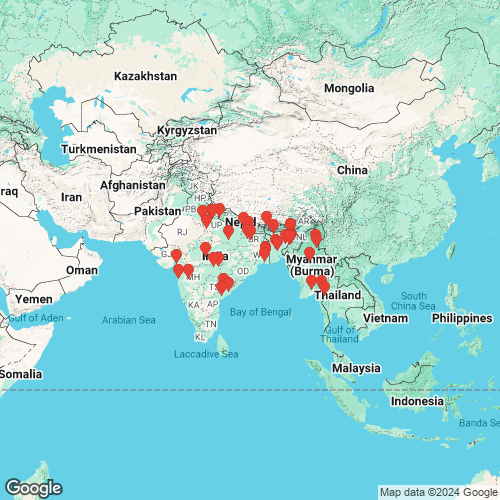
Bivalvia | Unionoida | Unionoidea | Unionidae | Parreysiinae | Indochinellini | Indonaia species Indonaia caerulea (Lea, 1831): specimens 8 available nominal species synonyms (15 total synonyms) Recent Taxonomic OpinionsParreysia (Radiatula) caerulea — Graf & Cummings (2007), Ramakrishna & Dey (2007) Radiatula caerulea — Nesemann et al. (2007), Zieritz et al. (2018), Pfeiffer et al. (2018), Pfeiffer et al. (2019) Parreysia (Radiatula) caerulea var. gaudichaudi — Ramakrishna & Dey (2007) Radiatula gaudichaudi — Nesemann et al. (2007) Radiatula keraudreni — Nesemann et al. (2007) Parreysia (Radiatula) nuttalliana — Graf & Cummings (2007), Ramakrishna & Dey (2007) Nodularia caeruleus — Burdi et al. (2009) Parreysia caerulea — Bogan (2010), IUCN (2010) Parreysia nuttalliana — Bogan (2010) Parreysia nuttallianus — IUCN (2010) Radiatula aff. caerulea — Bolotov et al. (2017) Indonaia caerulea — Bolotov et al. (2017), Bolotov et al. (2018), Huang et al. (2019), Konopleva et al. (2019), Jeratthitikul et al. (2019), Bolotov et al. (2020), Graf & Cummings (2021), Bolotov et al. (2022), Bolotov et al. (2022), Imsong & Murali (2023), Bolotov et al. (2024) Radiatula nuttalliana — Zieritz et al. (2018) Indonaia nuttalliana — Graf & Cummings (2021) Indonaia (caerulea-group) caerulea — Bolotov et al. (2022), Bolotov et al. (2024) RangeWidespread in Pakistan, India, Nepal, Bhutan, and Bangladesh. Map of Georeferenced Specimens
 NCSM_47249 Asia, Ganges Basin, Nepal, Gandakī, Kaski Co. Phewa Tae (Lake Fewa) near Pokhara, [point estimated 8.9 air miles SSW center Kāskī], entry to place called "Lakeside," near Handferry, 28.21° N, 83.85528° E
|  NCSM_47249 Asia, Ganges Basin, Nepal, Gandakī, Kaski Co. Phewa Tae (Lake Fewa) near Pokhara, [point estimated 8.9 air miles SSW center Kāskī], entry to place called "Lakeside," near Handferry, 28.21° N, 83.85528° E
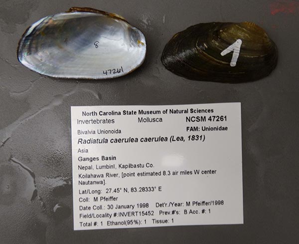
|  NCSM_47261 Asia, Ganges Basin, Nepal, Lumbinī, Kapilbastu Co., Koilahawa River, [point estimated 8.3 air miles W center Nautanwa]. 27.45° N, 83.28333° E
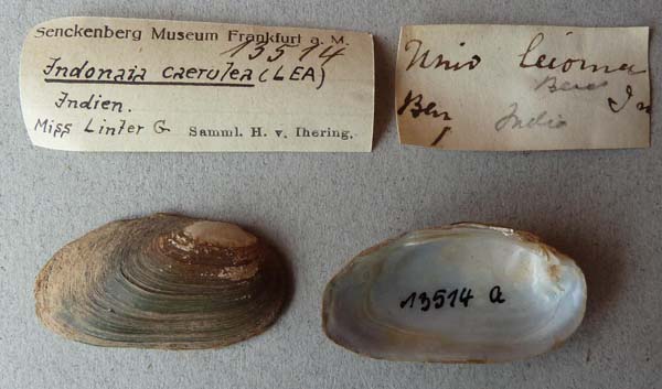
|  SMF_13511 Ballygange, Kalkutta
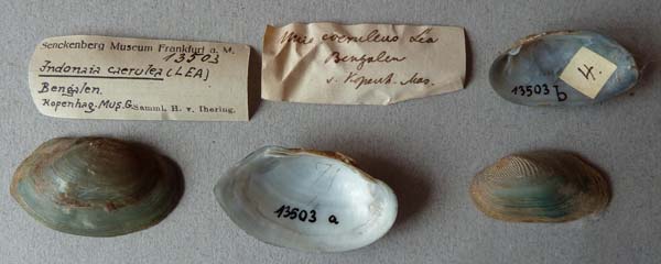
|  SMF_13503 Bengalen
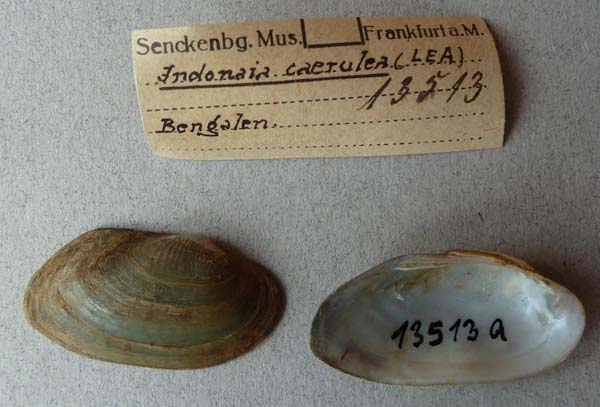
|  SMF_13513 Bengalen
|  UF_93241 Bhaudan Dist Central Province, India; Madhya Pradesh
|  SMF_13516 Dacca, Indien
|  SMF_13515 Ganges
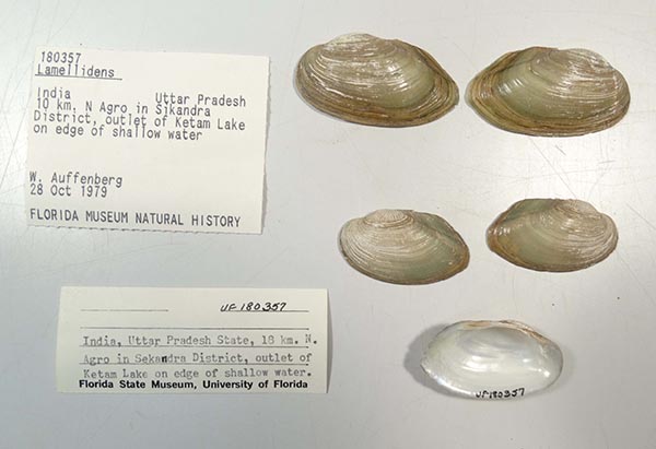
|  UF_180357 India, Uttar Pradesh, 10 km, N Agro in Sikandra District, Outlet of Ketam Lake on edge of shallow water
|  SMF_13510 Jumma River, India
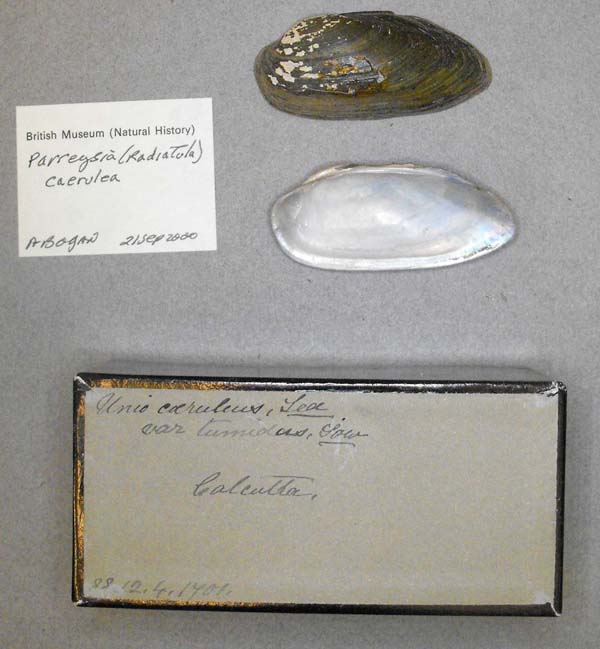
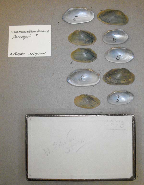
|  BMNH_3184-03-7-1 Rajkot, Kattiawar
|  BMNH_1954-6-2-1460 Rohilkhund [Rohilkhand], NW India
|  BMNH_MP_D044 Seo Prov., Central Prov., Raipur
|  SMF_13512 Solapur & Kalkutta
|  BMNH_MP_D048 Terang, Balasa [?]
|
BMNH_425-06-1-1. Calcutta near from channels leading to Sundabuns
Bangladesh
China
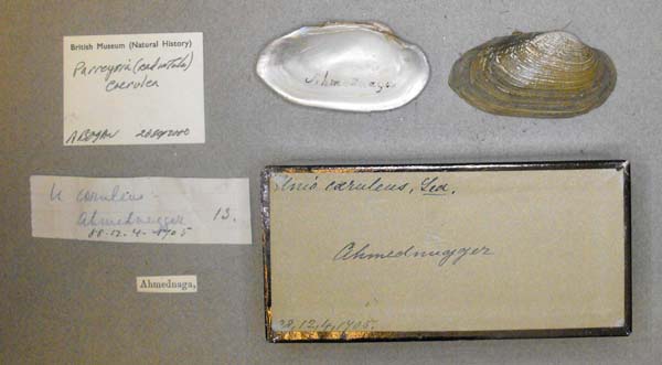
India BMNH_88-12-4-1705 Ahmednuggar
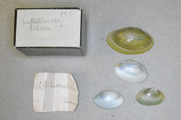
|  BMNH_1954-6-2-1461 Assam
|  BMNH_MP_D417 Assam
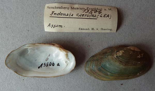
|  SMF_13506 Assam
|  USNM_41182 Assam
|  USNM_41182 Assam
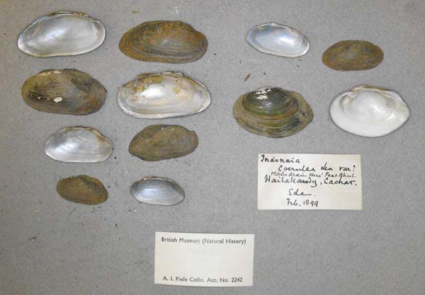
|  BMNH_1905-5-9-1-3 Barak River, Chachar (Ide)
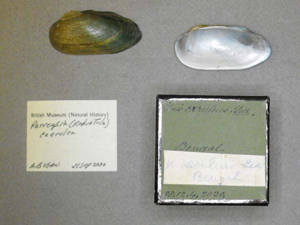
|  BMNH_88-12-4-2020 Bengal
|  BMNH_MP_D047 Bengal
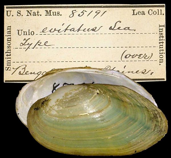
|  USNM_85191 Bengal
|  UMMZ_109654 Bengal, India
|  USNM_85193 Bengal, India
|  MNHN_MP_2792 Bengale
|  MNHN_MP_3616 Bengale
|  MNHN_MP_3669 Bengale
|  FMNH_120620 Bhandara District, Central Province, India
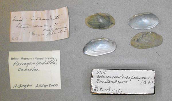
|  BMNH_558-06-1-1 Bhootan Dooars
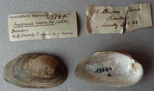
|  SMF_13504 Bombay
|  UMMZ_108108 Bombay, India
|  ANSP_61329 Bramaputra River
|  UMMZ_108107 British India
|  USNM_339735 British India
|  USNM_339735 British India
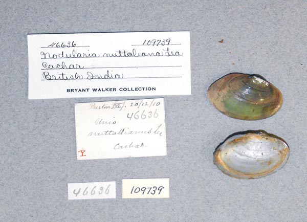
|  UMMZ_109739 Cachar, British India
|  BMNH_88-12-4-1707 Calcutta
|  BMNH_MP_D058 Calcutta
|  FMNH_21751 Calcutta
|  USNM_129193 Calcutta
|  USNM_129193 Calcutta
|  USNM_43630 Calcutta
|  UMMZ_109607 Calcutta, India
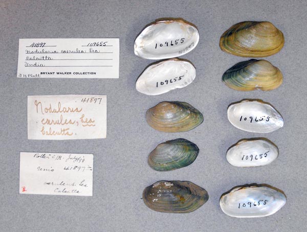
|  UMMZ_109655 Calcutta, India
|  USNM_85194 Calcutta, India
|  MNHN_MP_3672 Chandernagor
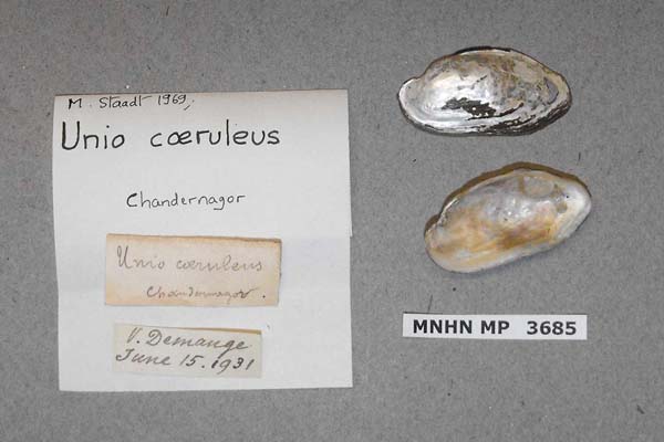
|  MNHN_MP_3685 Chandernagor
|  UMMZ_109600 Chandernagor, India
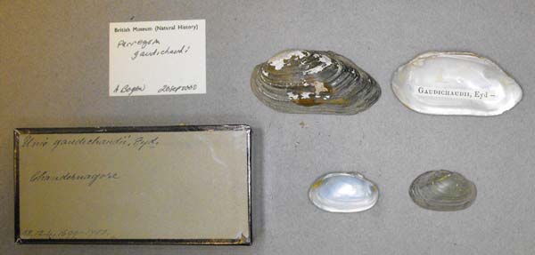
|  BMNH_88-12-4-1699-1700 Chandernagore [West Bengal]
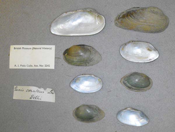
|  BMNH_MP_D059 Delhi
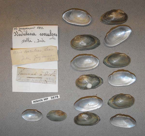
|  MNHN_MP_3678 Delhi, Inde
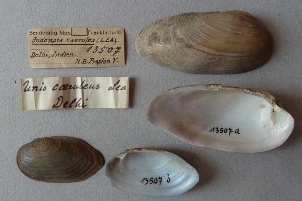
|  SMF_13507 Delhi, Indien
|  ANSP_125767 Ganges River
|  BMNH_447-06-1-1 Godaveri ?
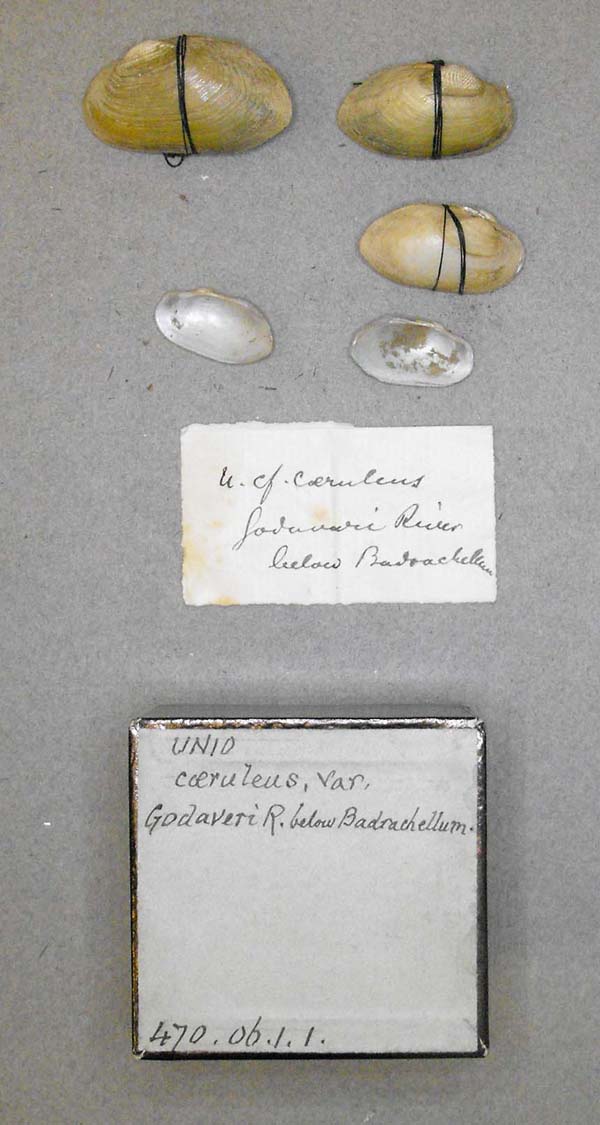
|  BMNH_470-06-1-1 Godaveri River, below Badrachellum [Bhadrachalam]
|  BMNH_504-06-1-1 Gungun R., SW Moradabad, Rohilkhand
|  BMNH_1906-5-9-4-5 Hailakandry, Cachar
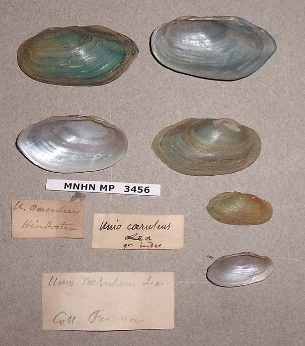
|  MNHN_MP_3456 Hindostan
|  ANSP_41670 Hoogley River, Hindostan
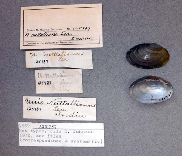
|  ANSP_125787 India
|  ANSP_68494 India
|  UF_93257 India
|  UMMZ_23063 India
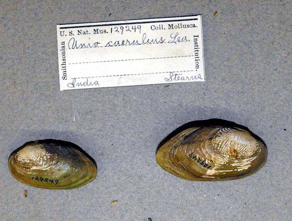
|  USNM_129249 India
|  USNM_129250 India
|  USNM_40849 India
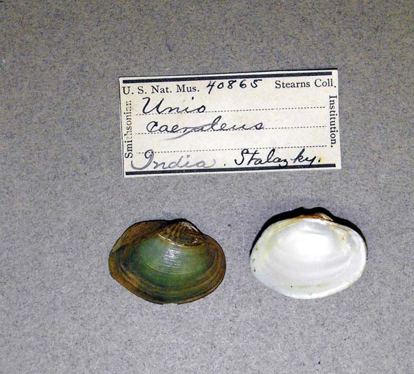
|  USNM_40865 India
|  USNM_40875 India
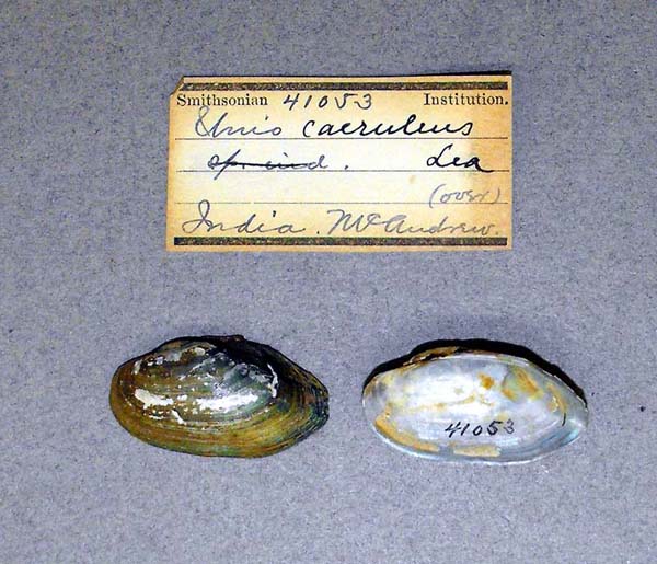
|  USNM_41053 India
|  USNM_85201 India
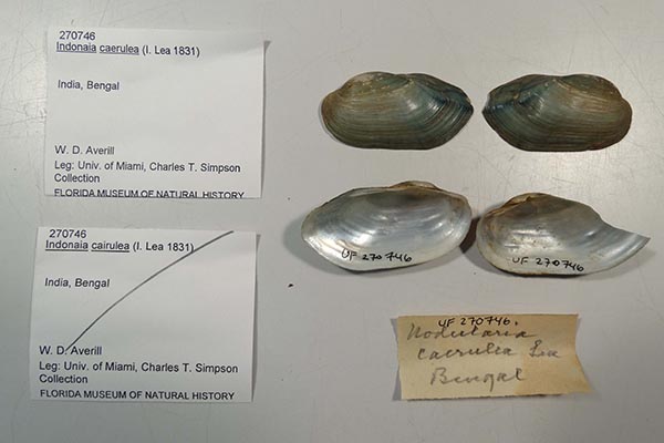
|  UF_270746 India, Bengal
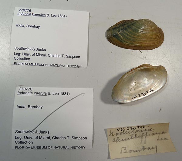
|  UF_270776 India, Bombay
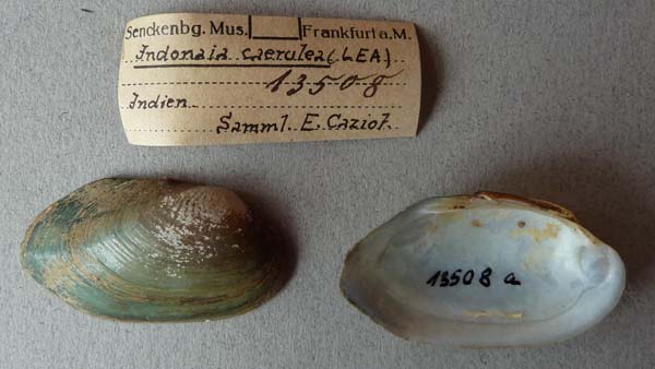
|  SMF_13508 Indien
|  SMF_13514 Indien
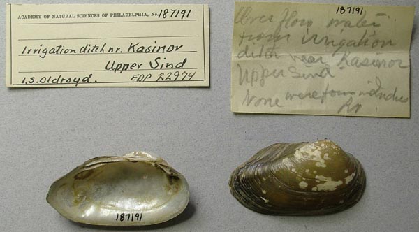
|  ANSP_187191 irrigation ditch, Kasinor, Upper Sind [India]
|  ANSP_187191 irrigation ditch, Kasinor, Upper Sind [India]
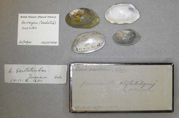
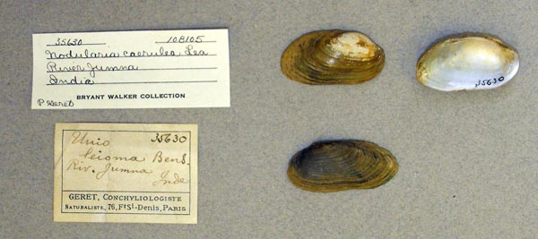
|  BMNH_88-12-4-1690-1691A Jumna [Yamuna] River, & Sabilgary [?]
|  SMF_13505 Kalkutta
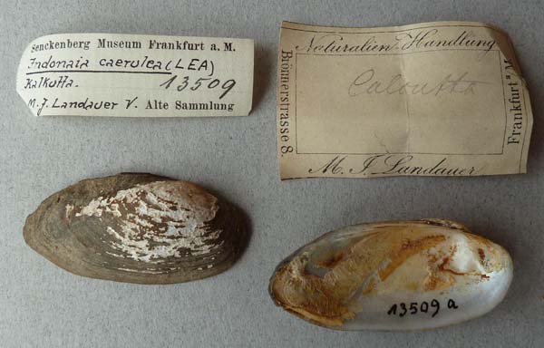
|  SMF_13509 Kalkutta
|  BMNH_MP_D148 Kosi R., between Moradabad and Rampur
|  BMNH_MP_D190 main drain through Peat Bhool, Hailakandy, Cachar
|  BMNH_439-06-1-1 Mand River, Mahanuddee [Mandavi or Manhanadi] Basin, Oodypur [?], Chota Nagpur
|  BMNH_MP_D050 Moradabad
|  BMNH_450-06-1-1 Nagpur
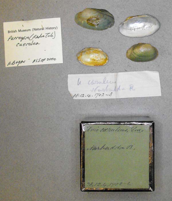
|  BMNH_88-12-4-1704 Narbadda R.
|  BMNH_88-12-4-1702-1703 Narbudha R.
|  BMNH_461-06-1-1 Nerbudda [Narmada] River, near Hashungabad [Hoshangabad]
|  UMMZ_108106 Patna, India
|  UMMZ_108105 River Jumna, India
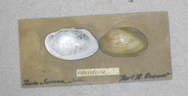
|  BMNH_MP_D084 River Summa, Delhi [India]
|  BMNH_MP_D388 River Yamuna, Delhi
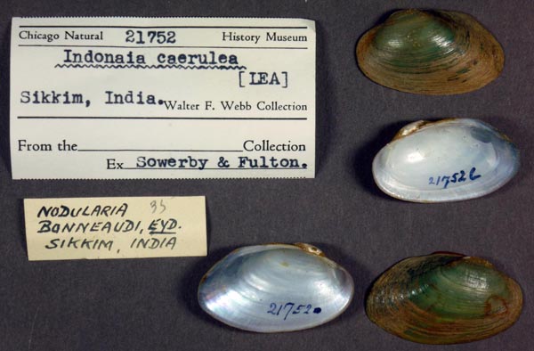
|  FMNH_21752 Sikkim, India
|  UMMZ_109586 Silchar, India
|  FMNH_64966 Tank race course, Calcutta, India
|  FMNH_64967 Tank race course, Calcutta, India
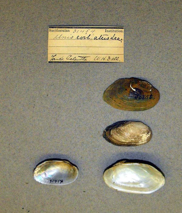
|  USNM_31454 tanks, Calcutta
|  BMNH_492-06-1-1 Tezpur, Assam
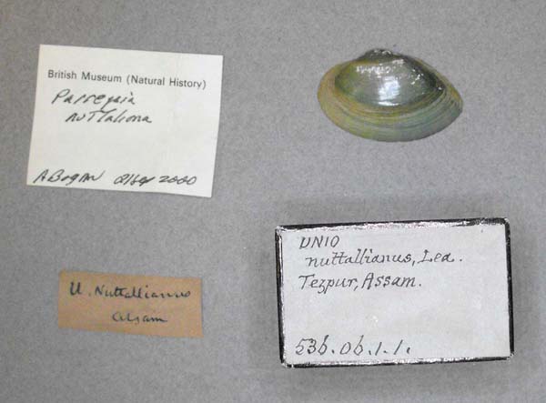
|  BMNH_536-06-1-1 Tezpur, Assam
|  BMNH_MP_D043 Tirhoot, Bengal
|  BMNH_MP_D223 W Bhutan Dooars
|
Myanmar BMNH_601-06-1-1 Bhamo, Upper Burma
|  BMNH_MP_D130 Birma
|  FMNH_21788 Burma
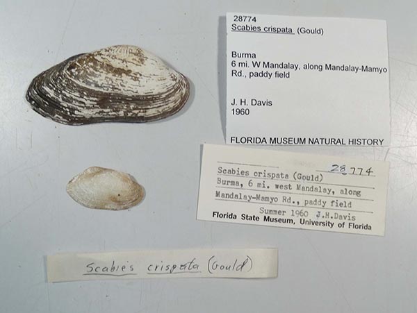
|  UF_28774 Burma, 6 mi W Mandalay, along Mandalay-Mamyo Rd., pady field
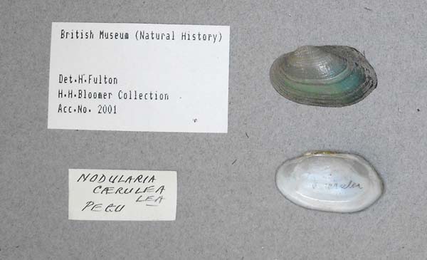
|  UF_93243 Burma, Pegu
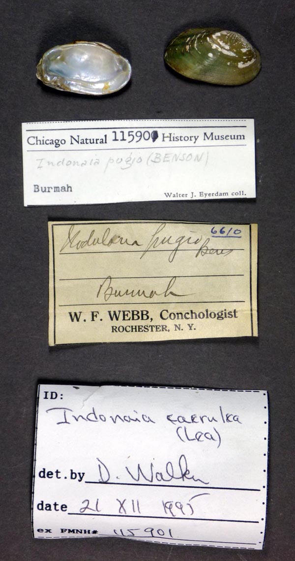
|  FMNH_115901 Burmah
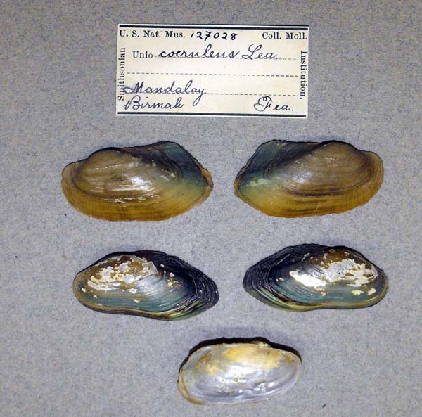
|  USNM_127028 Mandalay, Birmah
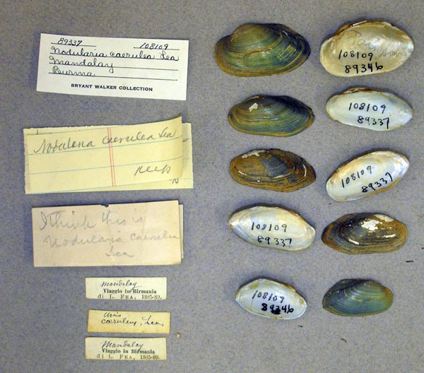
|  UMMZ_108109 Mandalay, Burma
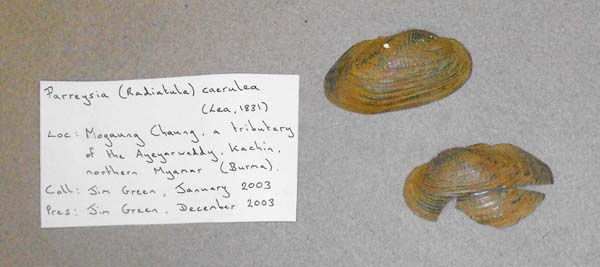
|  BMNH_MP_D045 Mogaung Chaung, a tributary of the Ayeyarwaddy, Kachin, northern Myamar (Burma)
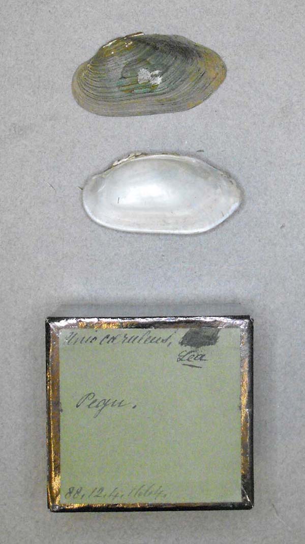
|  BMNH_88-12-4-1664 Pegu
|  BMNH_MP_0695 Pegu
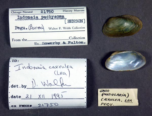
|  FMNH_21750 Pegu (Burma)
|  UMMZ_60370 Pegu, Burma
|
Nepal KON_MP_06 Kaptan Ghat River (Mahakali River Dr.) Suklapantha Wildlife Reserve, Kanchanpur District, Nepal
|  KON_MP_06 Kaptan Ghat River (Mahakali River Dr.) Suklapantha Wildlife Reserve, Kanchanpur District, Nepal
|
Thailand UF_507571 Moei River at Mae Tan confluence in Ma Tan 0-4 meters, 17.226°, 98.222°
|  UMMZ_109656 Siam
|  UF_507572 Thailand, Unnamed trib. Of Moei at Rt. 1206 in Wa Le 0-4 meters, 16.338°, 96.668°
|
unknownGeoreferenced Genbank Vouchers
IndiaFBRC_ZSI_1229 (RRc1). (COI: KT869141, go to Genbank) India: Fish pond, 16.31°N, 80.51°E, Krishna River basin, Uppalapadu, Andhra Pradesh.
NepalSMF_348833/17.08 [SMF_bf_74A]. (COI: OK480024, go to Genbank) Nepal: Jhajh nadi, 26.94°N, 85.31°E, Ganges River basin, Narayani Zone, Central Region. SMF_348834/17.01 [SMF_bf_75A]. (COI: OK480021, go to Genbank) ditto. SMF_348835/17.05 [SMF_bf_76B]. (COI: OK480022, go to Genbank) ditto. SMF_348824/12.10 [SMF_bf_65B]. (COI: OK480016, go to Genbank) Nepal: Khageri khola, 27.58°N, 84.47°E, Ganges Basin, Narayani Zone, Central Region.
ThailandUF_507572 (ICH-02312). (COI: MH350966, SRA: SRR8473076, go to Genbank) Thailand, Unnamed trib. Of Moei at Rt. 1206 in Wa Le (16.337647, 98.688342). |