Bivalvia | Unionida | Unionoidea | Unionidae | Ambleminae | Pleurobemini | Fusconaia
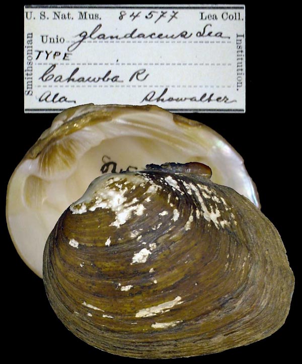
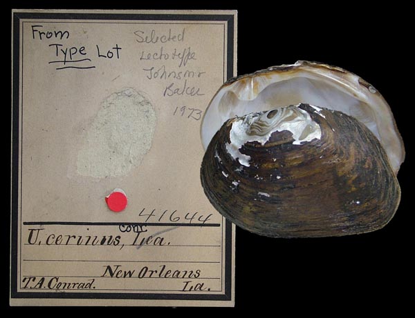
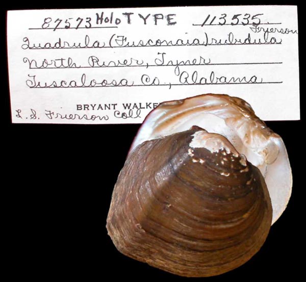
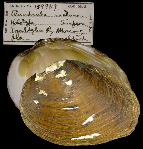
species Fusconaia cerina (Conrad, 1838): specimens
6 available nominal species synonyms
Recent Taxonomic Opinions
Fusconaia cerina — Graf & Cummings (2007), Burdick & White (2007), Williams et al. (2008), Campbell et al. (2008), Bogan (2010), ... FMCS (2021), Johnson et al. (2023), Hopper et al. (2023), Hauck et al. (2023), FMCS (2025)
Fusconaia rubidula — Graf & Cummings (2007), Cummings & Graf (2010)
Range
Mobile Basin west to Louisiana, Gulf Coastal Plain, USA.
Map of Georeferenced Specimens

MUSSELp Specimen Records
USA
|
|
|
|
|
|
|
|
|
|
Genbank Vouchers
Georeferenced Genbank Vouchers
USA
UAUC_3234. (ND1: AY613792, go to Genbank) Bogue Chitto River, Little Silver Creek at Pleasant Hill Road, Washington Pa. LA.
UAUC_3233. (COI: AY613823, go to Genbank) Tallapoosa River, Choctafaula Creek at FR906. Tuskegee NF, Macon Co. AL.
UAUC_73. (16S: AY655039, ND1: AY655095, go to Genbank) Tombigbee River, Coal Fire Creek at CR 26, Pickens Co. AL.
UF_438883_11. (5.8S: MH133822, COI: MF961851, ITS1: MH133822, ND1: MH133672, go to Genbank) USA, Alabama, Greene County, Trussells Creek on Co. Rt 181 just SE of Co. Rt 191 (32.949566, -87.96215).
UF_438883_12. (5.8S: MH133823, COI: MF961852, ITS1: MH133823, ND1: MH133673, go to Genbank) ditto.
UF_438306_7. (5.8S: MH133824, COI: MF961849, ITS1: MH133824, ND1: MH133674, go to Genbank) USA, Mississippi, Jackson County, Pascagoula River at Paper Mill Camp slough about 2 mi. upstream of MS Hwy 614 (30.63228, -88.652401).
UF_438306_8. (5.8S: MH133825, COI: MF961850, ITS1: MH133825, ND1: MH133675, go to Genbank) ditto.


