Bivalvia | Unionida | Unionoidea | Unionidae | Parreysiinae | Indochinellini | Indochinella
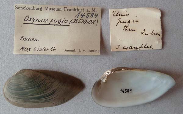
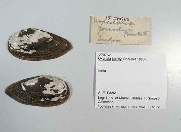
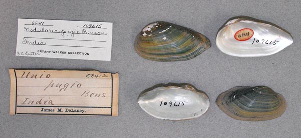
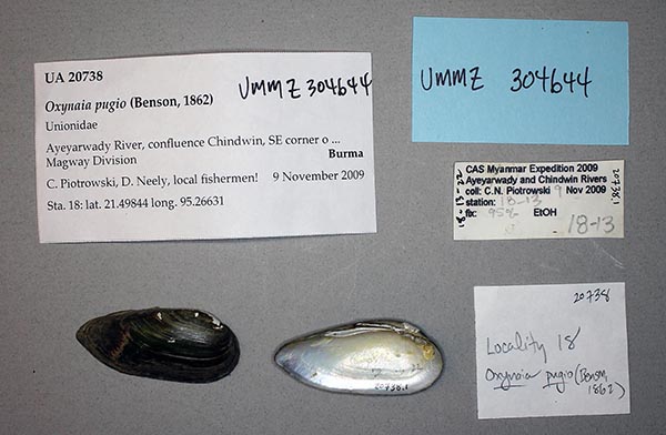
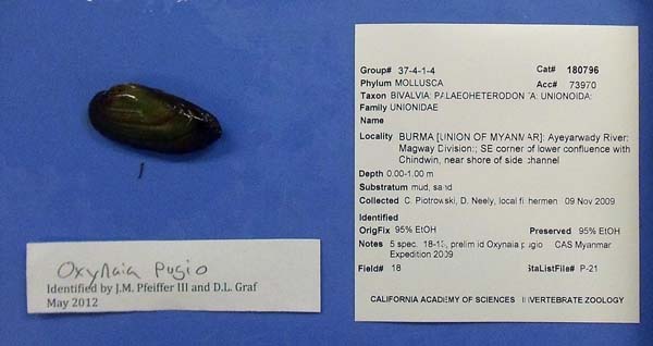
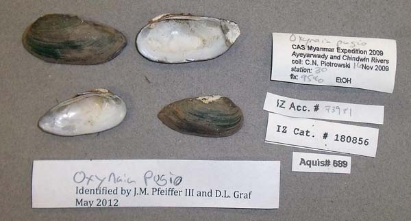
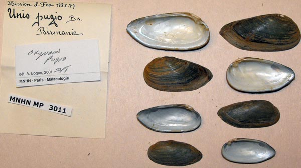
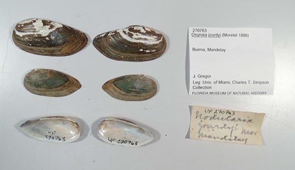
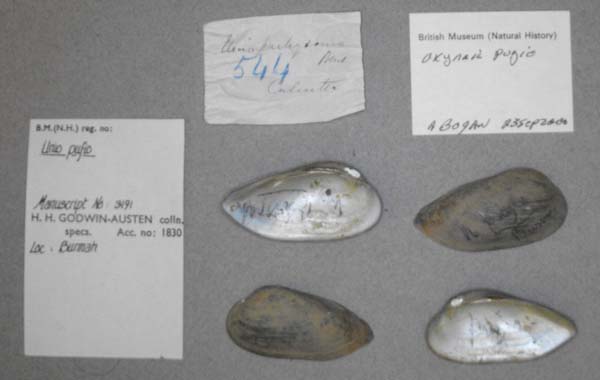
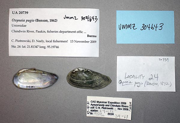
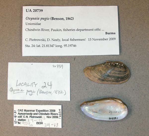
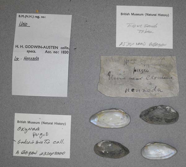
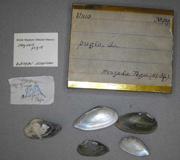
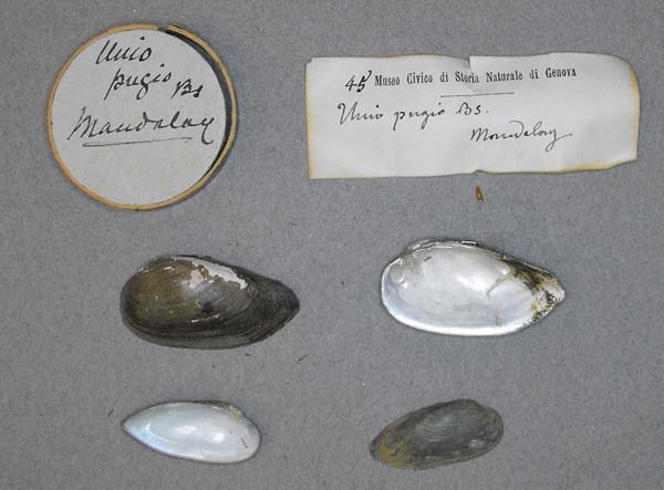
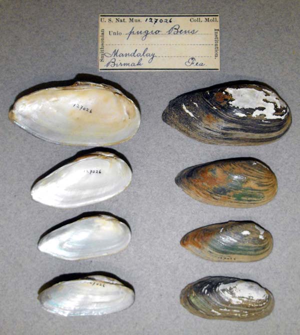
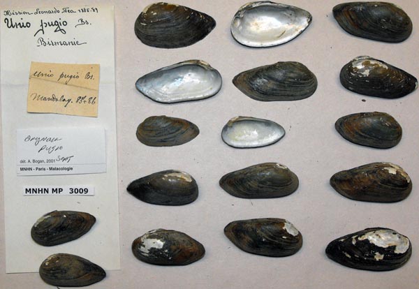
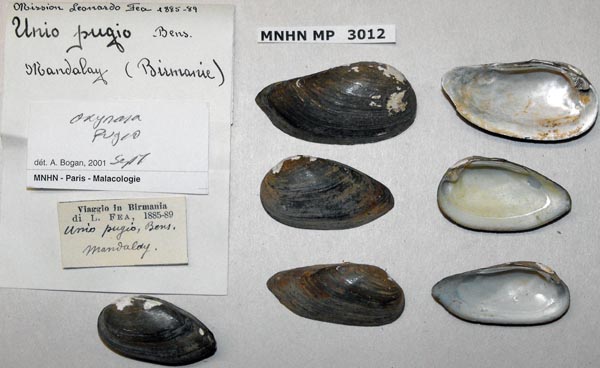
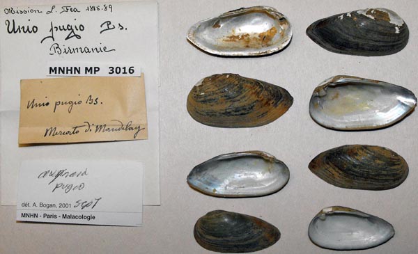
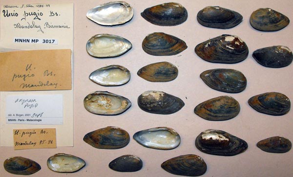
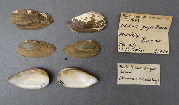
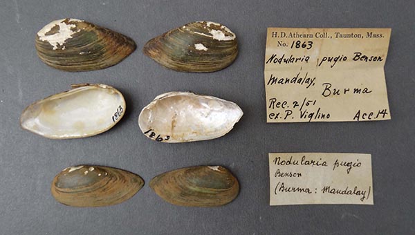
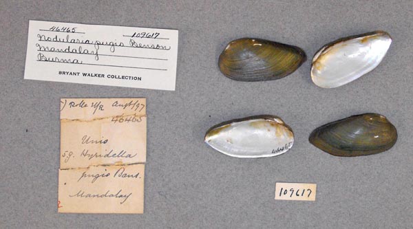
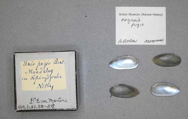
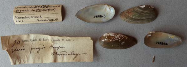
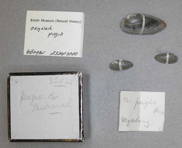
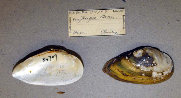
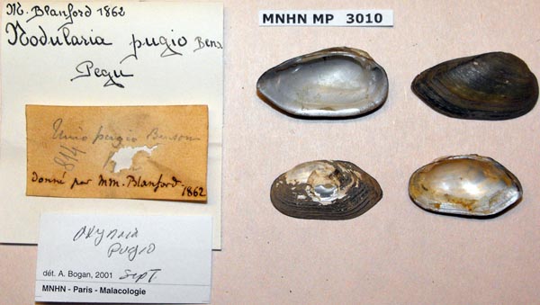
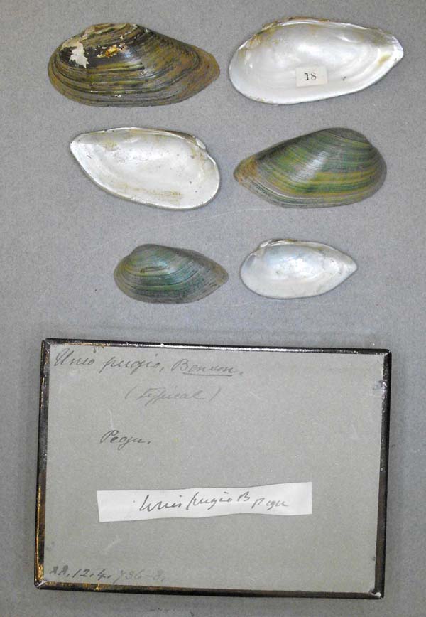
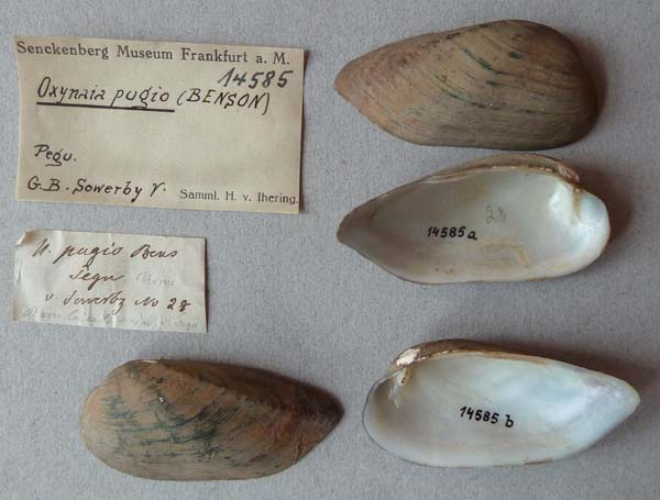
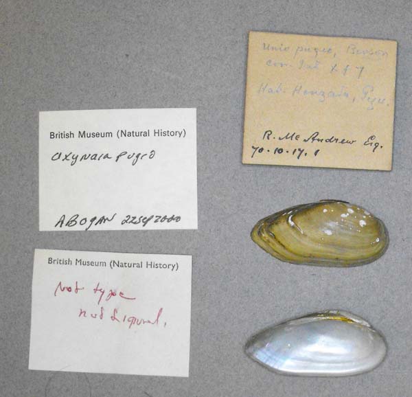
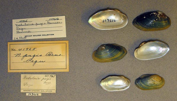
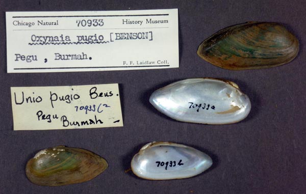
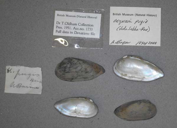
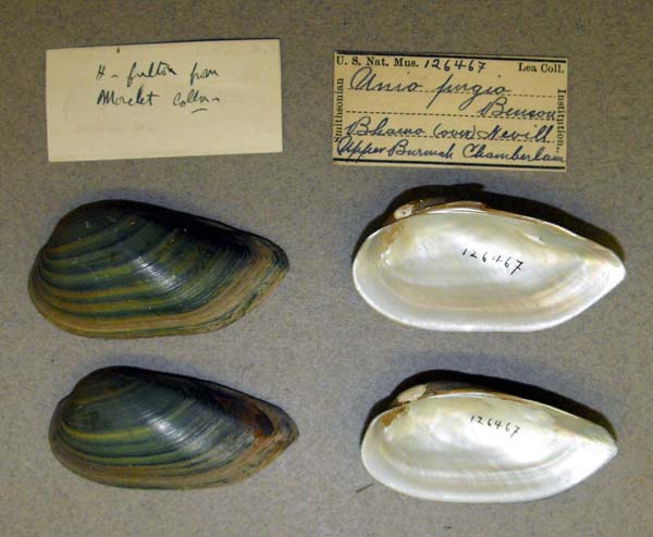
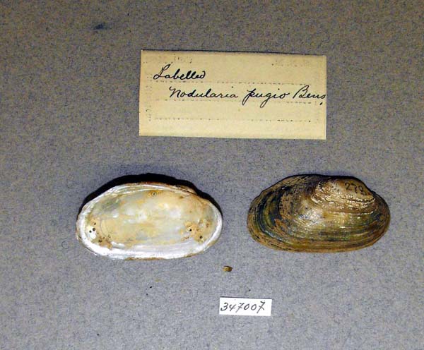
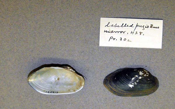
species Indochinella pugio (Benson, 1862): specimens
4 available nominal species synonyms (6 total synonyms)
Recent Taxonomic Opinions
Oxynaia pugio — Graf & Cummings (2007), Bogan (2010), IUCN (2010), Whelan et al. (2011), Pfeiffer & Graf (2015), Lopes-Lima et al. (2017), Bolotov et al. (2017), Konopleva et al. (2017), Zieritz et al. (2018), Huang et al. (2019)
Oxynaia cf. pugio — Bolotov et al. (2017)
Oxynaia sp. ‘Tavoy’ — Bolotov et al. (2017), Huang et al. (2019)
Oxynaia sp. ‘Taungoo’ — Bolotov et al. (2017), Huang et al. (2019)
Scabies crispata — Bolotov et al. (2017)
Oxynaia aff. pugio sp. 1 — Bolotov et al. (2017)
Indochinella pugio — Bolotov et al. (2018), Pfeiffer et al. (2018), Konopleva et al. (2019), Jeratthitikul et al. (2019), Pfeiffer et al. (2019), Ortiz-Sepulveda et al. (2020), Graf & Cummings (2021)
Indochinella pugio pugio — Bolotov et al. (2019), Bolotov et al. (2020), Bolotov et al. (2022), Bolotov et al. (2022), Bolotov et al. (2022), Konopleva et al. (2023), Konopleva et al. (2023), Bolotov et al. (2024)
Indochinella pugio viridissima — Bolotov et al. (2019), Bolotov et al. (2020), Bolotov et al. (2022), Bolotov et al. (2022), Bolotov et al. (2022), Bolotov et al. (2024)
Indochinella pugio daweiensis — Bolotov et al. (2019), Bolotov et al. (2020), Bolotov et al. (2022), Bolotov et al. (2022), Bolotov et al. (2022), Bolotov et al. (2024)
Indochinella pugio paradoxa — Bolotov et al. (2019), Bolotov et al. (2020), Bolotov et al. (2022), Bolotov et al. (2022), Bolotov et al. (2022), Bolotov et al. (2024)
Indochinella sp. ‘Tavoy’ — Ortiz-Sepulveda et al. (2020)
Range
Irrawaddy Basin east to the Salween and Tavoy, Myanmar.
Map of Georeferenced Specimens

MUSSELp Specimen Records
|
|
|
India
|
|
|
|
|
|
Myanmar
|
|
|
|
|
|
|
|
|
|
|
|
|
|
|
|
|
|
|
|
|
|
|
|
|
|
|
|
|
|
|
|
|
|
|
|
|
|
|
|
|
|
|
|
|
|
|
|
|
|
|
|
unknown
|
|
|
|
Genbank Vouchers
Georeferenced Genbank Vouchers
Myanmar
RMBH_biv_377_2. (COI: MK372432, go to Genbank) Myanmar: Moeyungyi Lake, 17.5968°N, 96.5950°E.
RMBH_biv_377_3. (COI: MK372433, go to Genbank) ditto.
UMMZ_304644. (16S: KP795046, SRA: SRR8473032, go to Genbank) Ayeryarwaddy River, confluence Chindwin, SE corner.., Magway Division, Burma. 21.49844, 95.26631.
UMMZ_304643. (28S: JN243879, COI: JN243899, go to Genbank) Chindwin River, Paukin, fisheries Dept. office, Burma. 21.81347, 95.19746.
RMBH_biv_381_3. (COI: MK372434, go to Genbank) Myanmar: Bago River, 17.5334°N, 96.3315°E.
RMBH_biv_381_4. (COI: MK372435, go to Genbank) ditto.
RMBH_biv_371_1. (16S: MK372468, 28S: MK372500, COI: MK372426, go to Genbank) Myanmar: Bilin River, near Yhin Ohn village, 17.3306°N, 97.2418°E.
RMBH_biv_371_2. (16S: MK372469, 28S: MK372501, COI: MK372427, go to Genbank) ditto.
RMBH_biv_371_3. (COI: MK372428, go to Genbank) ditto.
RMBH_biv_361_1. (16S: MK372465, 28S: MK372496, COI: MK372420, go to Genbank) Myanmar: Haungthayaw River upstream of Kawkareik town, 16.47144°N, 98.21825°E.
RMBH_biv_361_2. (16S: MK372466, 28S: MK372497, COI: MK372421, go to Genbank) ditto.
RMBH_biv_361_3. (16S: MK372467, 28S: MK372498, COI: MK372422, go to Genbank) ditto.
RMBH_biv_268_1. (COI: MF352285, go to Genbank) Myanmar: Irrawaddy River basin, Myaung Lake, 24.2387°N, 97.1658°E.
RMBH_biv_268_2. (16S: MF352346, 28S: MF352403, COI: MF352286, go to Genbank) ditto.
RMBH_biv_268_4. (16S: MF352347, 28S: MF352404, COI: MF352287, go to Genbank) ditto.
RMBH_biv_258_1. (16S: MF352325, 28S: MF352386, COI: MF352261, go to Genbank) Myanmar: Irrawaddy River basin, Nant Phar Lake, 24.2972°N, 97.2610°E.
RMBH_biv_258_2. (16S: MF352326, 28S: MF352389, COI: MF352262, go to Genbank) ditto.
RMBH_biv_386_2. (COI: MK372436, go to Genbank) Myanmar: Moe Lut Stream, Bago Basin, 17.6011°N, 96.2861°E.
RMBH_biv_251_1. (16S: MF352312, 28S: MF352370, COI: MF352242, go to Genbank) Myanmar: Sittaung River basin, Myit Kyi Pauk Stream, 18.9613°N, 96.4455°E.
RMBH_biv_251_2. (16S: MF352313, 28S: MF352371, COI: MF352243, go to Genbank) ditto.
RMBH_biv_251_3. (16S: MF352314, 28S: MF352372, COI: MF352244, go to Genbank) ditto.
RMBH_biv_147_10. (16S: KX865624, 28S: KX865725, COI: KX865853, go to Genbank) Myanmar: Tavoy (Dawei) River, 14.5012°N, 98.1557°E.
RMBH_biv_147_18. (16S: KX865625, 28S: KX865726, COI: KX865854, go to Genbank) ditto.
RMBH_biv_147_3. (16S: KX865623, 28S: KX865724, COI: KX865852, go to Genbank) ditto.
RMBH_biv_147_30. (COI: MK372395, go to Genbank) ditto.
RMBH_biv_148_15. (16S: KX865628, 28S: KX865729, COI: KX865857, go to Genbank) Myanmar: Tavoy River.
RMBH_biv_148_4. (16S: KX865626, 28S: KX865727, COI: KX865855, go to Genbank) ditto.
RMBH_biv_148_7. (16S: KX865627, 28S: KX865728, COI: KX865856, go to Genbank) ditto.
RMBH_biv_375_1. (COI: MK372429, go to Genbank) Myanmar: Thae Phyu Stream, Bilin River, 17.2757°N, 97.1274°E.


