Bivalvia | ... | Unionoidea | Unionidae | Gonideinae | Rectidentini | Contradentina | Lens
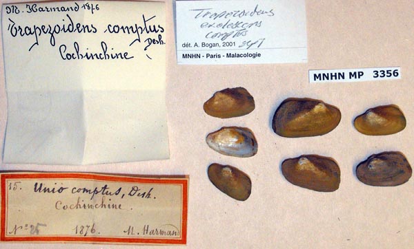
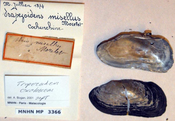
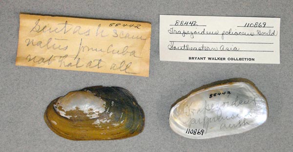
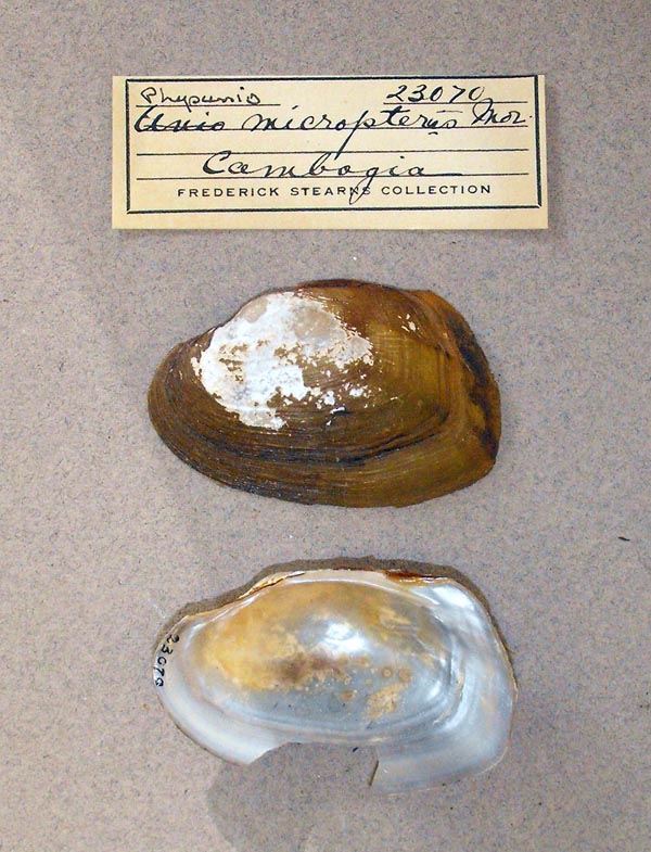
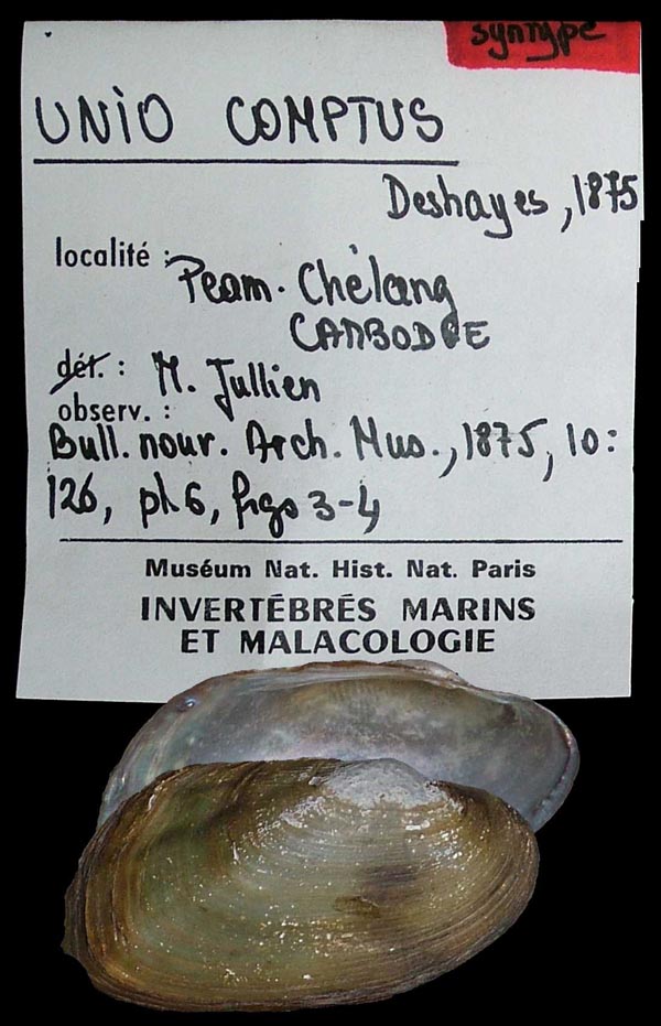
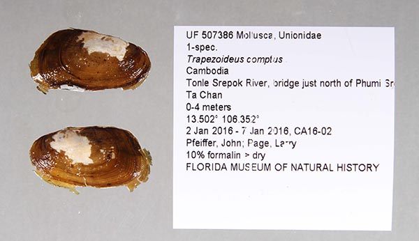
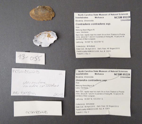
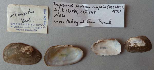
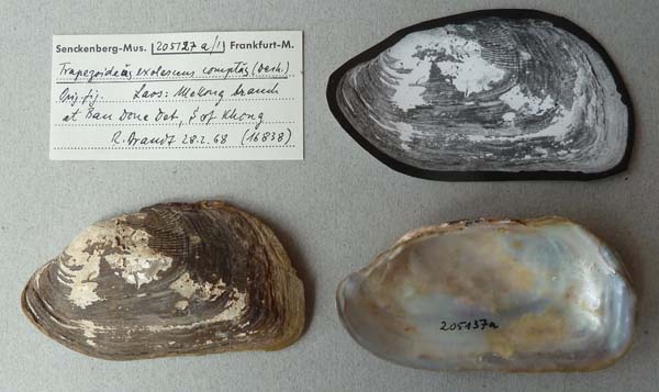
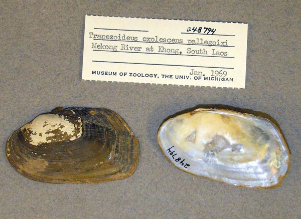
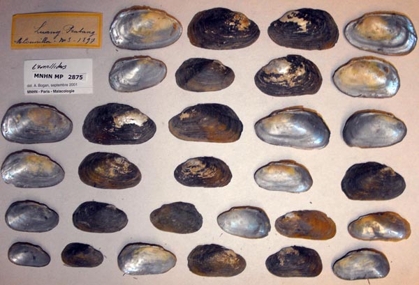
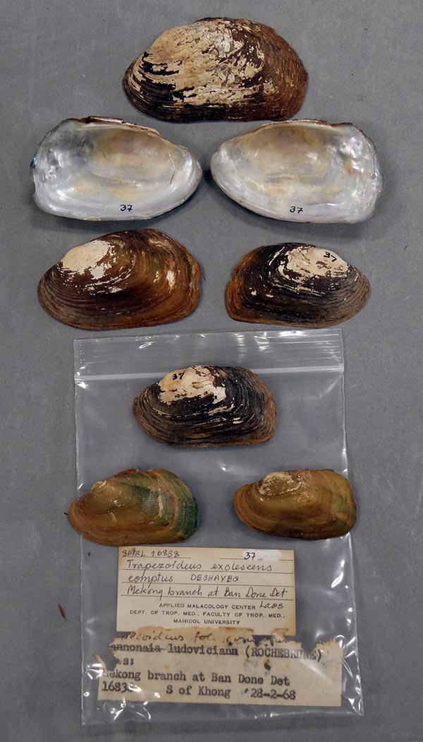
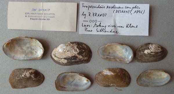
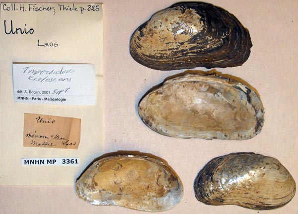
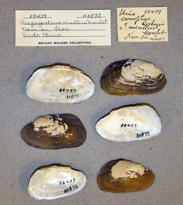
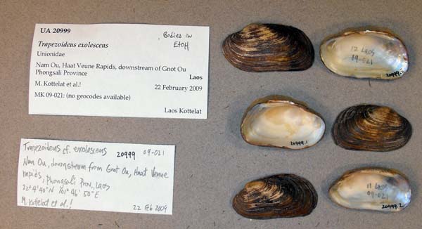
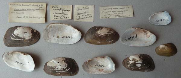
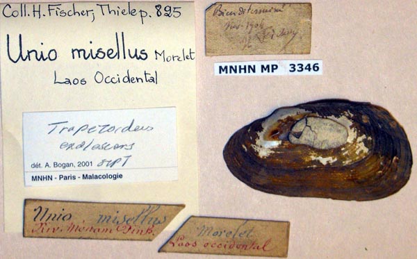
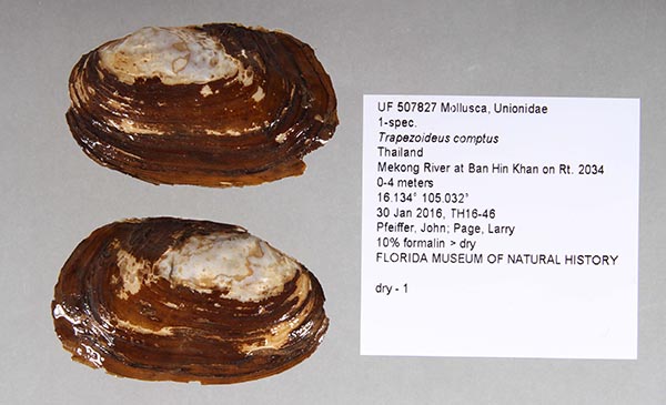
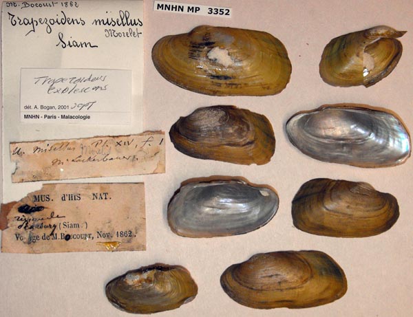
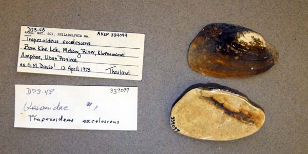
species Lens comptus (Deshayes in Deshayes & Jullien, 1876): specimens
2 available nominal species synonyms (3 total synonyms)
Recent Taxonomic Opinions
Harmandia munensis — Graf & Cummings (2007), Bogan (2010), IUCN (2012), Zieritz et al. (2018)
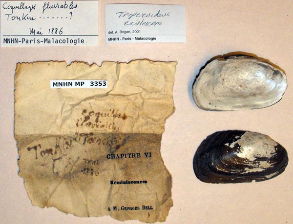
Trapezoideus exolescens — He & Zhuang (2013)
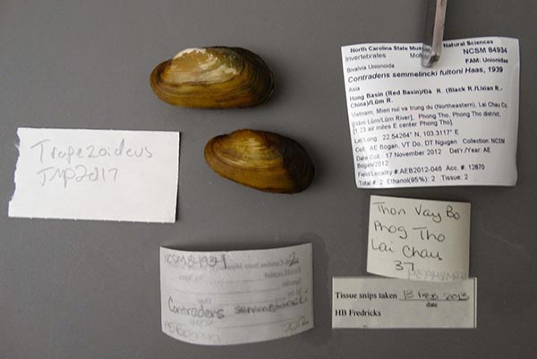
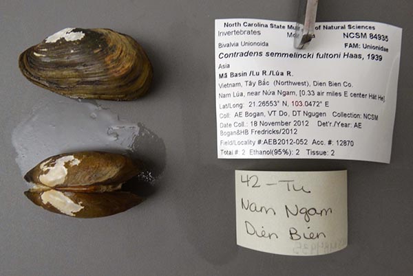
Contradens semmelinki fultoni — Lopes-Lima et al. (2017)
Contradens sp. 6 — Bolotov et al. (2017)
Contradens sp. “Nam Long” — Bolotov et al. (2017)
Trapezoideus comptus — Pfeiffer et al. (2018)
Contradens sp. ‘Nam long’ — Bolotov et al. (2018)
Contradens comptus — Konopleva et al. (2019), Konopleva et al. (2019), Bolotov et al. (2020), Zieritz et al. (2020), Graf & Cummings (2021)
Contradens sp. 'Nam Long' — Huang et al. (2019)
Lens comptus — Pfeiffer et al. (2021), Bolotov et al. (2022), Konopleva et al. (2023), Dai et al. (2023), Zieritz et al. (2024), Dai et al. (2024), Dai et al. (2025), Chen et al. (2025)
Range
Mekong River, Cambodia, Laos, and Thailand.
Map of Georeferenced Specimens

MUSSELp Specimen Records
|
|
|
|
|
|
|
Cambodia
|
|
|
|
|
|
|
|
|
|
|
|
|
|
|
|
|
|
Laos
|
|
|
|
|
|
|
|
|
|
|
|
|
|
|
|
|
|
|
|
|
|
|
|
|
|
|
|
|
|
|
|
|
|
|
|
|
|
|
Thailand
|
|
|
|
|
|
|
|
|
|
|
|
|
|
|
|
Vietnam
|
|
|
|
Genbank Vouchers
Georeferenced Genbank Vouchers
Cambodia
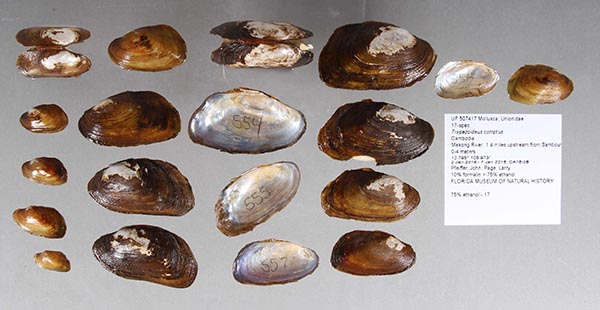
UF_507417 (ICH-00547). (COI: MT905675, go to Genbank) Cambodia, Mekong River, 1.4 miles upstream from Sambour (12.794587, 105.972551).
UF_507417 (ICH-00554). (COI: MT905678, go to Genbank) ditto.
UF_507417 (ICH-00555). (COI: MT905679, go to Genbank) ditto.
UF_507417 (ICH-00556). (COI: MT905680, go to Genbank) ditto.
UF_507417 (ICH-00557). (COI: MT905681, go to Genbank) ditto.
UF_507403 (ICH-00503). (COI: MT905654, go to Genbank) Cambodia, Mekong River, 5.17 miles upstream of Mekong and Sekong Confluence (13.595154, 106.014469).
UF_507403 (ICH-00504). (COI: MT905655, go to Genbank) ditto.
UF_507403 (ICH-00505). (COI: MT905656, go to Genbank) ditto.
UF_507403 (ICH-00506). (COI: MT905657, go to Genbank) ditto.
UF_507403 (ICH-00507). (COI: MT905658, go to Genbank) ditto.
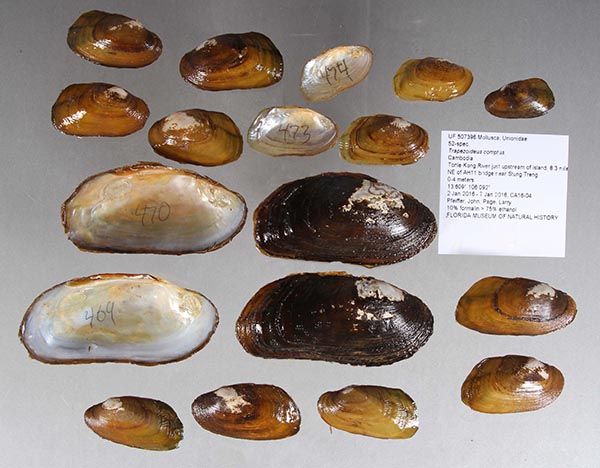
UF_507396 (ICH-00469). (COI: MT905641, go to Genbank) Cambodia, Tonle Kong River just upstream of island, 8.3 miles NE of AH11 bridge near Stung Treng (13.609383, 106.092445).
UF_507396 (ICH-00470). (COI: MT905642, go to Genbank) ditto.
UF_507396 (ICH-00471). (16S: MH346013, 28S: MH345993, COI: MH345973, go to Genbank) ditto.
UF_507396 (ICH-00472). (COI: MT905643, go to Genbank) ditto.
UF_507396 (ICH-00473). (COI: MT905644, go to Genbank) ditto.
UF_507396 (ICH-00474). (16S: MH346014, 28S: MH345994, COI: MH345974, go to Genbank) ditto.
UF_507390 (ICH-00451). (COI: MT905633, go to Genbank) Cambodia, Tonle Sekong River, 1.6 miles upstream from AH11 Bridge (13.545038, 106.013527).
UF_507380 (ICH-00407). (COI: MT905608, go to Genbank) Cambodia, Tonle Srepok River, major bridge crossing on road from Stung Treng to Ban Lung (13.443388, 106.603294).
UF_507380 (ICH-00408). (COI: MT905609, go to Genbank) ditto.
UF_507380 (ICH-00409). (COI: MT905610, go to Genbank) ditto.
UF_507380 (ICH-00410). (COI: MT905611, go to Genbank) ditto.
UF_507380 (ICH-00411). (COI: MT905612, go to Genbank) ditto.
UF_507382 (ICH-00418). (COI: MT905616, go to Genbank) ditto.
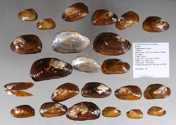
UF_507423 (ICH-00562). (COI: MT905683, go to Genbank) Thailand, Mekong River, 700 ft downstream of Sandan (12.68691, 106.016966).
UF_507423 (ICH-00563_AHE). (COI: MT905685, go to Genbank) ditto.
UF_507423 (ICH-00563). (COI: MT905684, SRA: SRX8934355, go to Genbank) ditto.
UF_507429 (ICH-00576). (16S: MH346015, 28S: MH345995, COI: MH345975, go to Genbank) Thailand, Mekong River, upstream of fishing village near the confluence of Tonle Sap River (11.572071, 104.940501).
UF_507429 (ICH-00577). (16S: MH346016, 28S: MH345996, COI: MH345976, go to Genbank) ditto.
UF_507429 (ICH-00578). (COI: MT905692, go to Genbank) ditto.
Laos
RMBH_biv_182_10. (28S: KX865803, COI: KX865932, go to Genbank) Laos: Mekong River basin, Nam Long River.
RMBH_biv_182_12. (16S: KX865685, 28S: KX865802, COI: KX865931, go to Genbank) ditto.
RMBH_biv_182_3. (16S: KX865684, 28S: KX865801, COI: KX865930, go to Genbank) ditto.
Thailand
UF_507795 (ICH-00819). (COI: MT905801, go to Genbank) Thailand, Mekong River at Ban Huai Sueam Nuea on Rt. 212 (18.416475, 103.546337) .
UF_507792 (ICH-00812). (COI: MT905797, go to Genbank) Thailand, Mekong River at Ban Tha Pho on Rt. 212 (18.338504, 103.720589).
UF_507792 (ICH-00813). (COI: MT905798, go to Genbank) ditto.
UF_507792 (ICH-00814). (COI: MT905799, go to Genbank) ditto.
UF_507833 (ICH-00892). (COI: MT905836, go to Genbank) Thailand, Mekong River at Muk River mouth in Mukdahan (16.546135, 104.731717) .
UF_507833 (ICH-00893). (COI: MT905837, go to Genbank) ditto.
UF_507751 (ICH-00750). (16S: MH346017, 28S: MH345997, COI: MH345977, go to Genbank) Thailand, Mekong River at Nong Khai (17.882349, 102.735204).
UF_507751 (ICH-00751). (COI: MT905776, go to Genbank) ditto.
UF_507751 (ICH-00752). (16S: MH346018, 28S: MH345998, COI: MH345978, go to Genbank) ditto.
UF_507758 (ICH-00737). (COI: MT905772, go to Genbank) Thailand, Trib. of Mekong River at Rt. 211 bridge approx. 3 km S of Ban Muang (18.15107, 102.178987).
RMBH_biv_119_5. (16S: KX865682, 28S: KX865799, COI: KX865928, go to Genbank) Thailand: Mekong River basin, Loei River.
RMBH_biv_119_6. (16S: KX865683, 28S: KX865800, COI: KX865929, go to Genbank) ditto.


