| Page last updatedWed 1 October 2025
 | The Freshwater Mussels (Unionoida) of the World (and other less consequential bivalves)FM(U)otW(aolcb) is the web version of the MUSSEL Project Database. Follow the links to browse the data or use the custom Google search field. Either way, you win! 
					Search the database pages: 
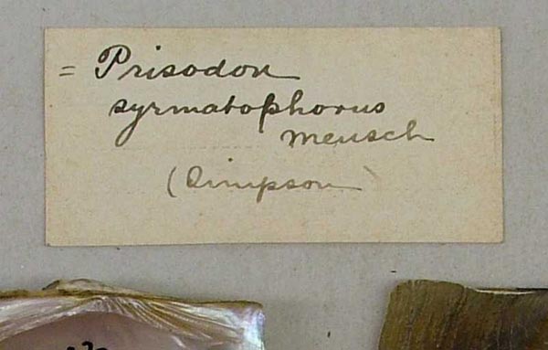
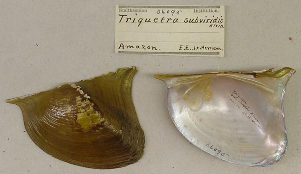
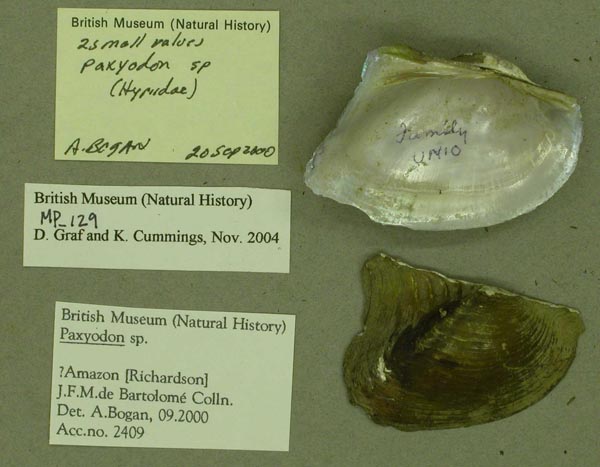
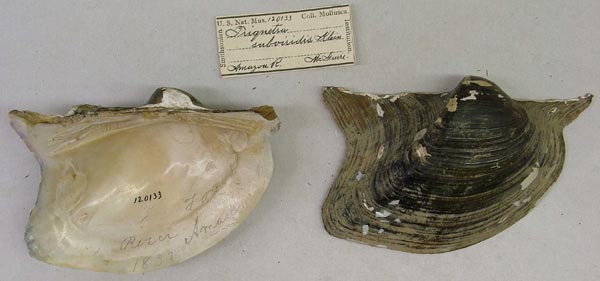
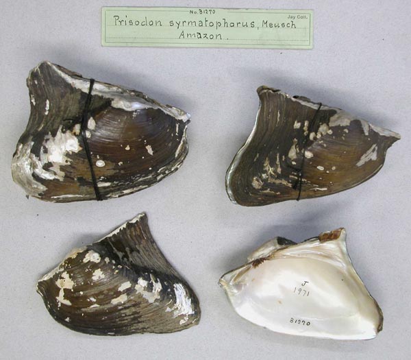
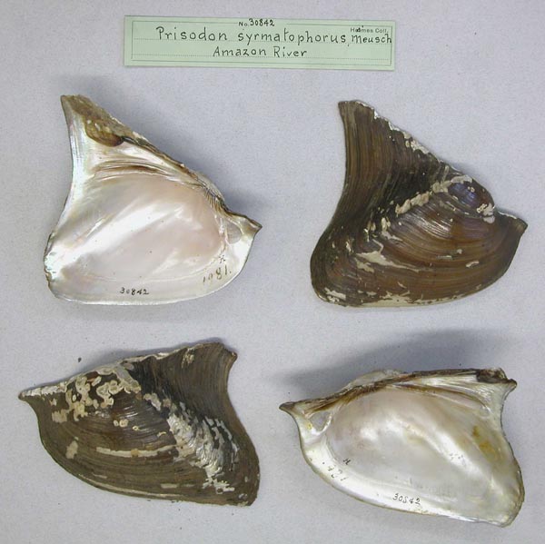
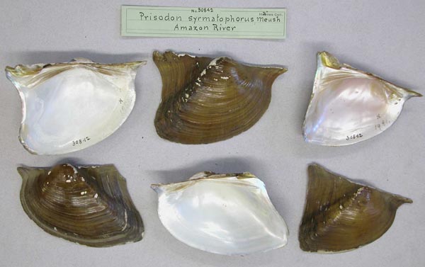
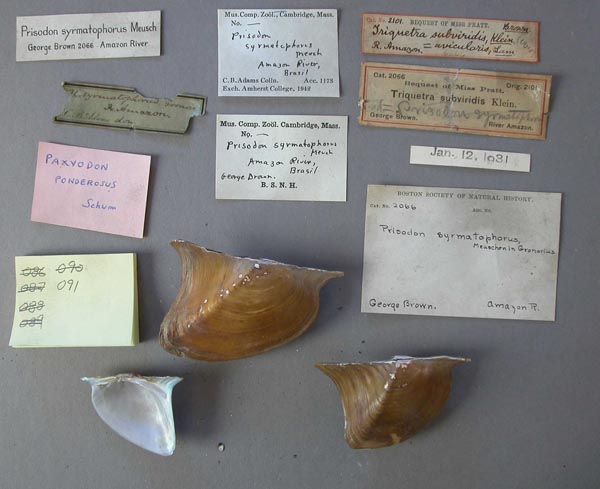
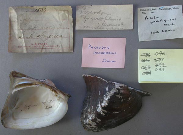
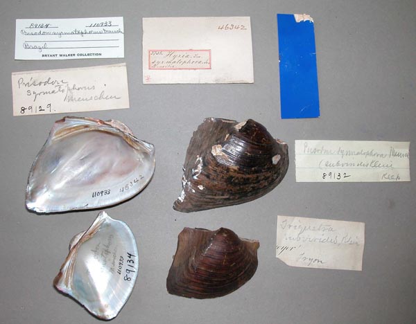
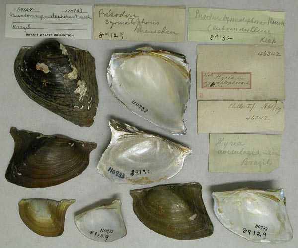
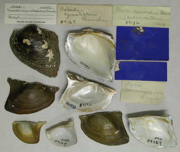
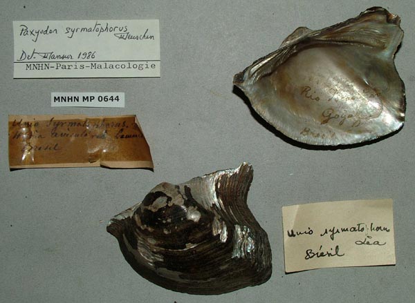
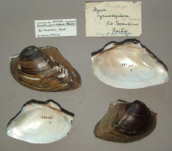
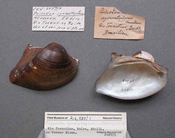
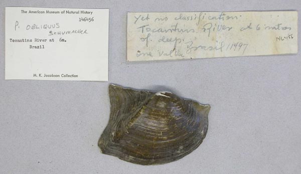
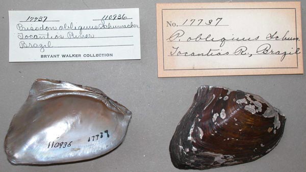
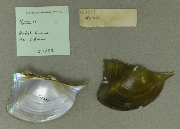
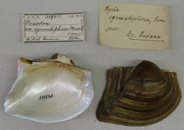
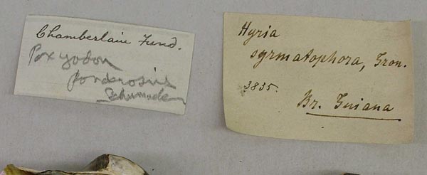
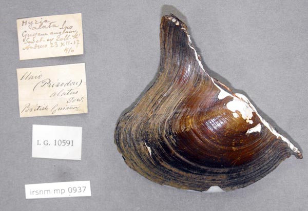
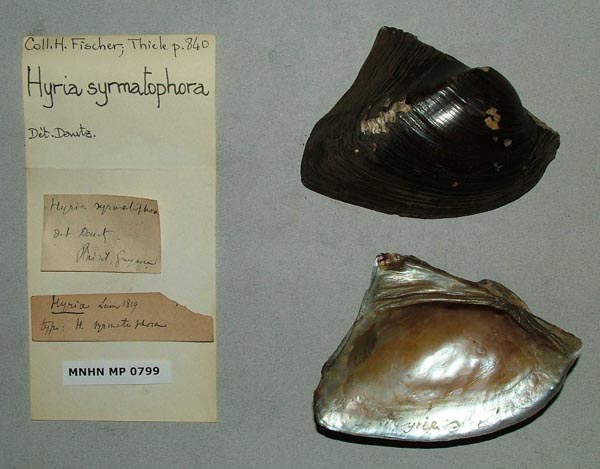
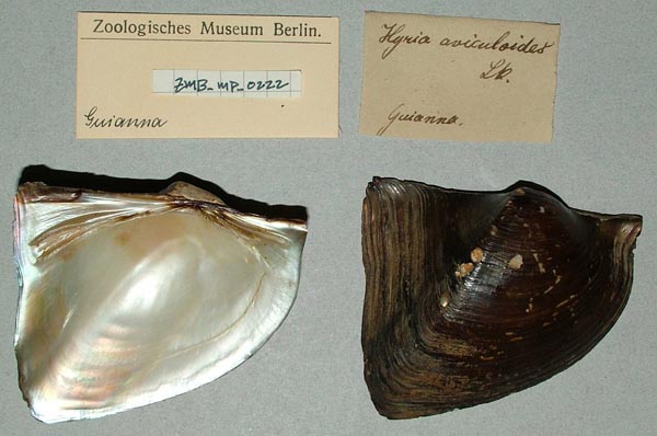
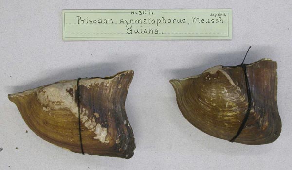
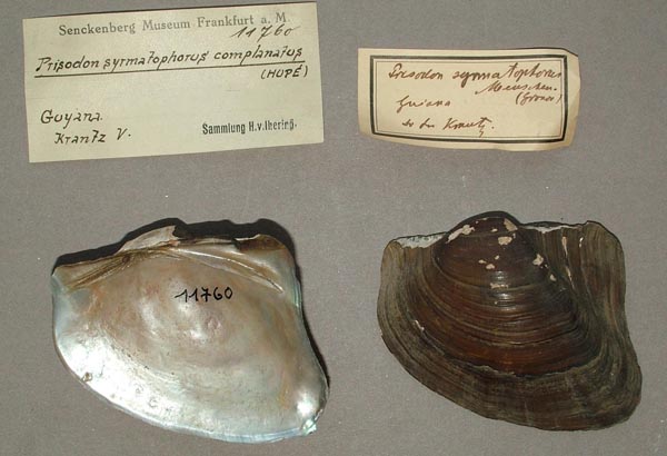
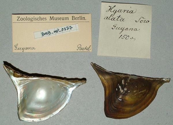
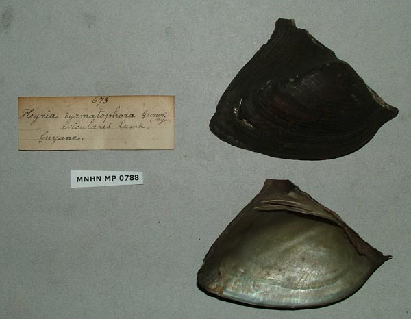
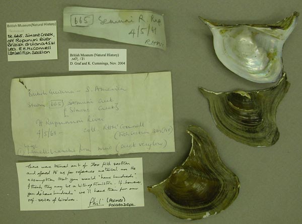
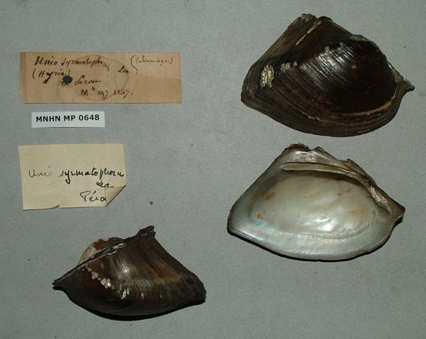
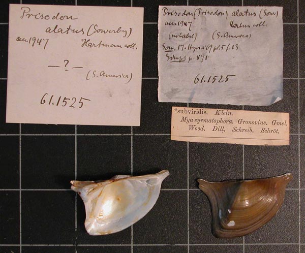
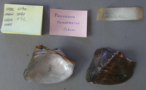
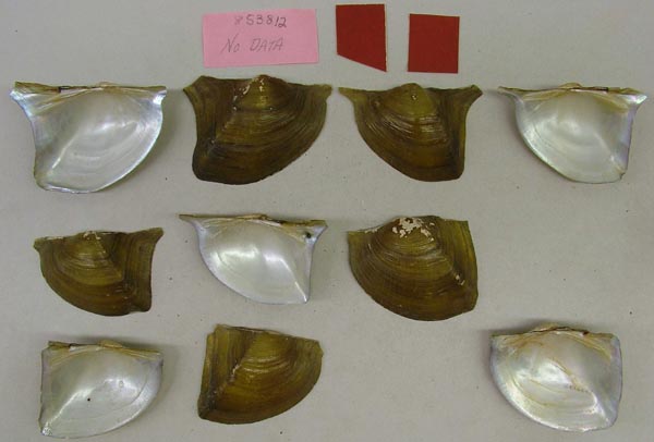
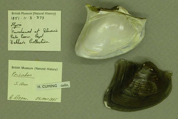
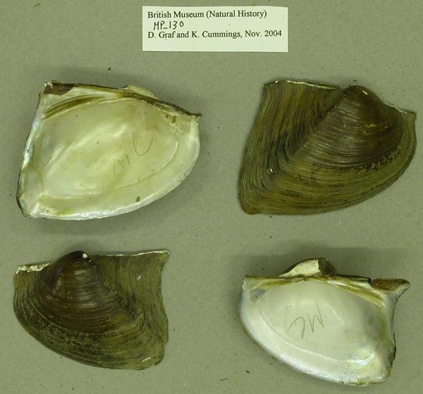
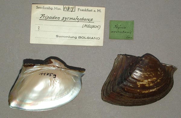
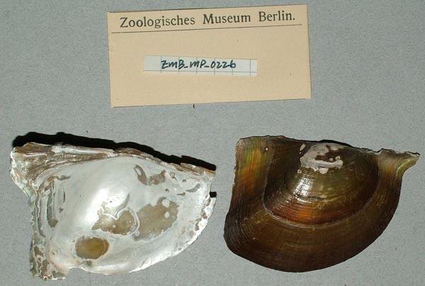
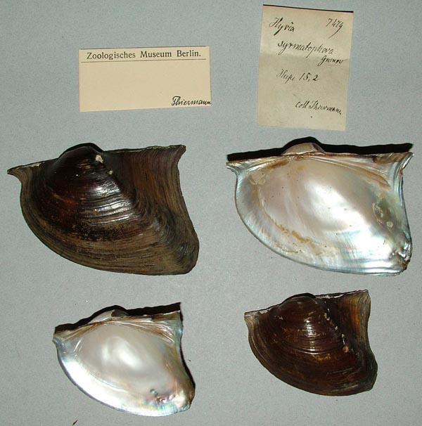
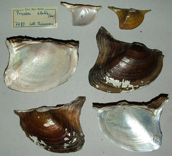
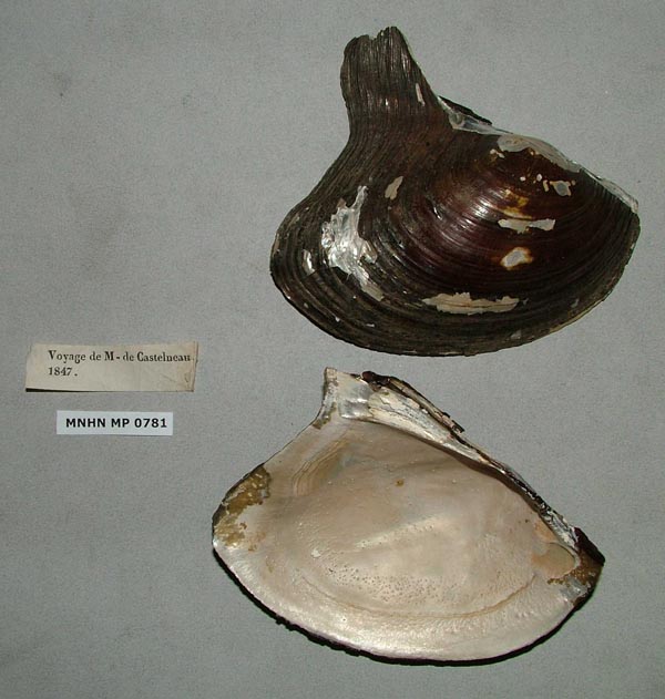
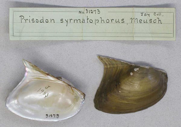
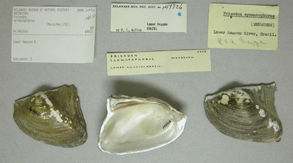
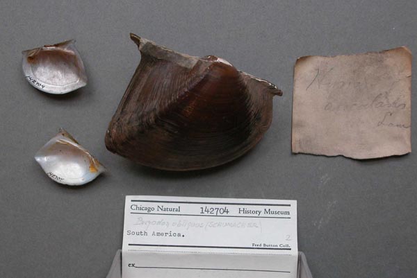
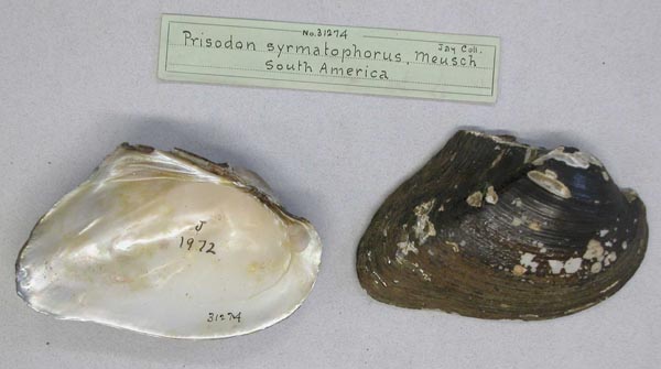
 Bivalvia | Unionoida | Hyrioidea | Hyriidae | Hyriinae | Hyriini | Prisodon species Prisodon syrmatophorus (Gmelin, 1791): specimens6 available nominal species synonyms (14 total synonyms)
 Recent Taxonomic OpinionsPrisodon (Paxyodon) syrmatophorus — Graf & Cummings (2007)Paxyodon syrmatophorus — Lasso et al. (2009), Bogan (2010), Santos-Neto et al. (2016), Santos-Neto et al. (2018), Mansur et al. (2020)
 Prisodon syrmatophorus — IUCN (2014), Graf & Cummings (2021)
 Paxyodon syrmathophorus [sic] — Pereira et al. (2014)
 Prisodon alatus — Soliman et al. (2016)
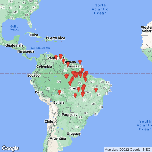
 RangeNortheastern South America, from the Orinoco and Guyana to the lower Amazon. Map of Georeferenced Specimens
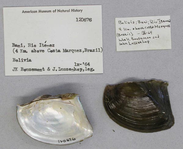
 Bolivia|  AMNH_120676
 Rio Itenez (=Guaporé), Beni, 4 km above Costa Marques, Brazil, Bolivia
 | 
 
 Brazil|  USNM_36095
 Amazon
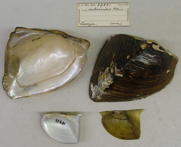
 |  USNM_83881
 Amazon
 |  USNM_83881
 Amazon
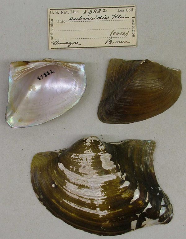
 |  |  USNM_83882
 Amazon
 |  USNM_83882
 Amazon
 |  BMNH_MP_129
 Amazon ?
 |  |  USNM_120133
 Amazon R.
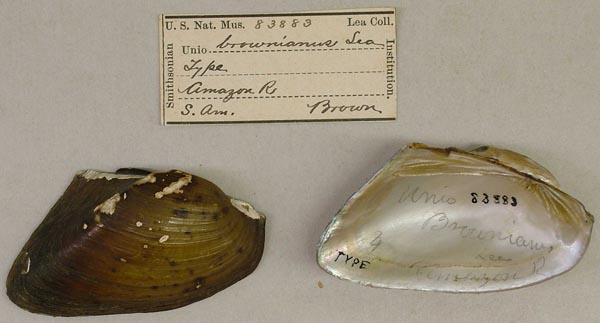
 |  USNM_83883
 Amazon R., S. Am.
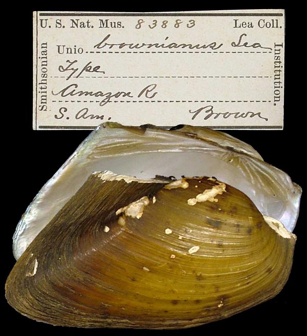
 |  USNM_83883
 Amazon R., S. Am.
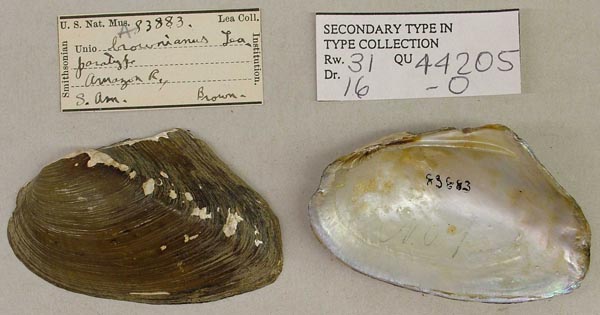
 |  |  USNM_83883A
 Amazon R., S. Am.
 |  AMNH_30842
 Amazon River
 |  AMNH_30842
 Amazon River
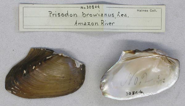
 |  |  AMNH_30844
 Amazon River
 |  AMNH_31270
 Amazon River
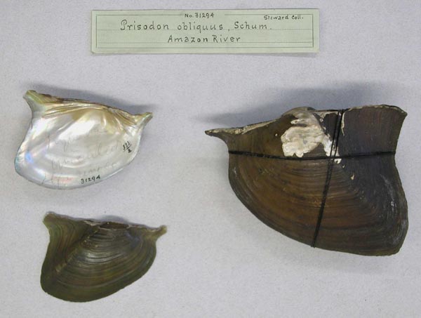
 |  AMNH_31294
 Amazon River
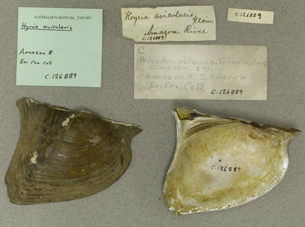
 |  |  AMS_126889
 Amazon River
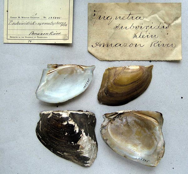
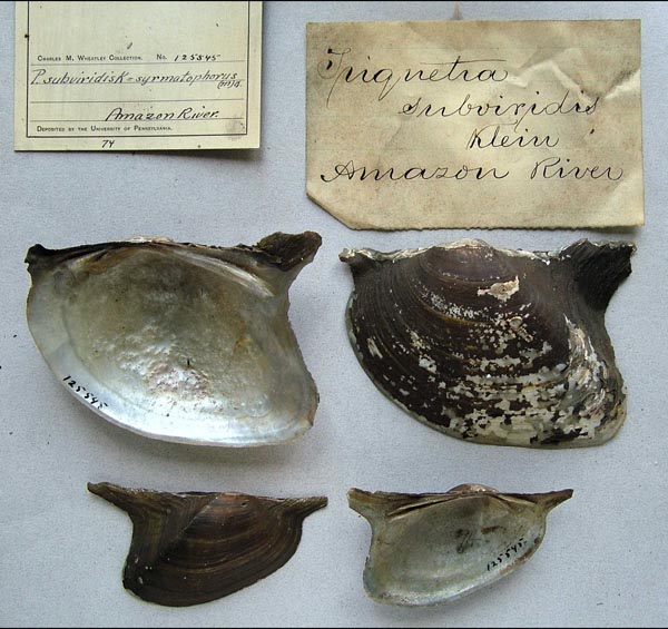
 |  ANSP_125545
 Amazon River
 |  ANSP_125545
 Amazon River
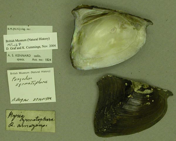
 |  |  BMNH_MP_127
 Amazon River
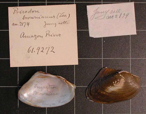
 |  CM_61.9272
 Amazon River
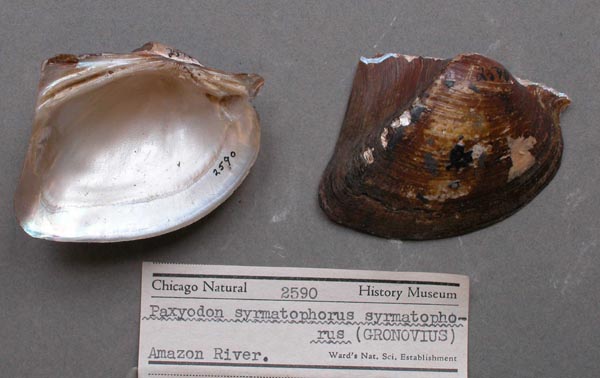
 |  FMNH_2590
 Amazon River
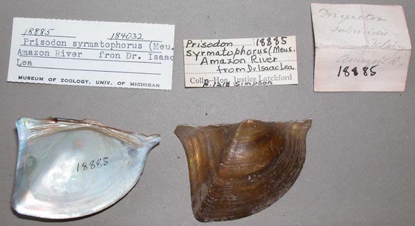
 |  |  UMMZ_184032
 Amazon River
 |  UMMZ_184032
 Amazon River
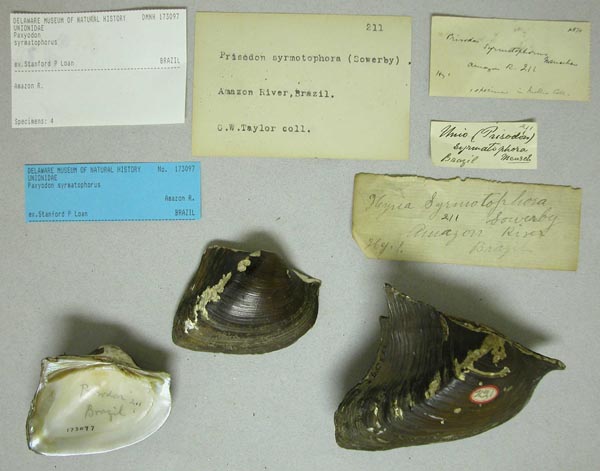
 |  DMNH_173097
 Amazon River, Brazil
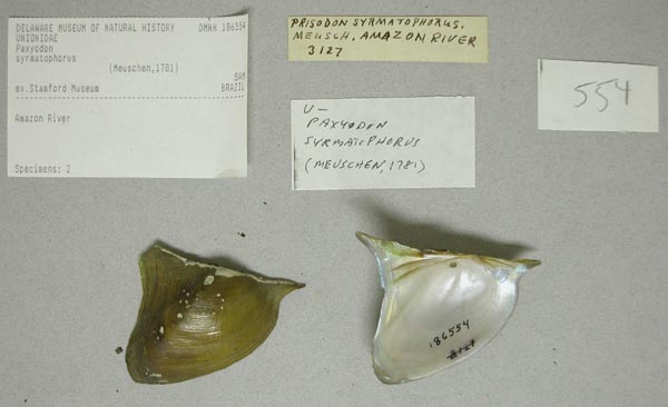
 |  |  DMNH_186554
 Amazon River, Brazil
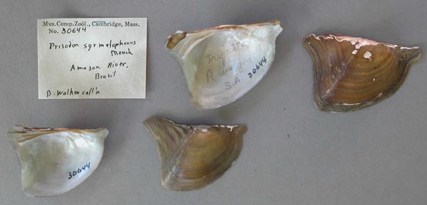
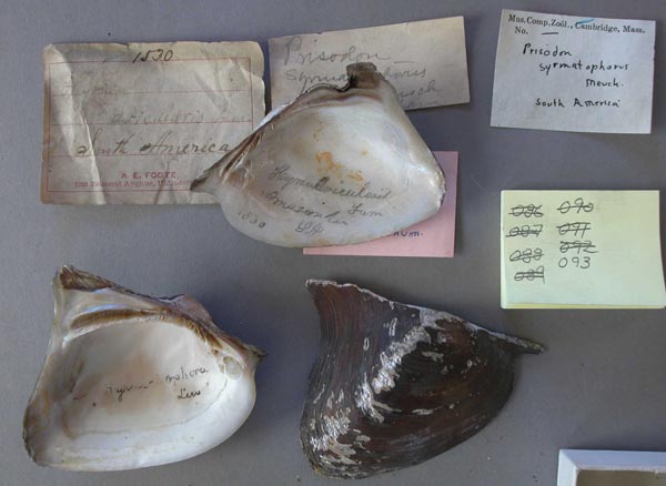
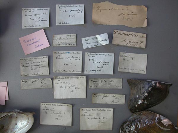
 |  MCZ_30644
 Amazon River, Brazil
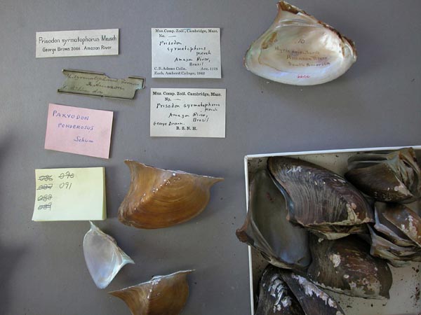
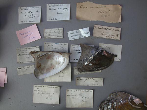
 |  MCZ_MP.91
 Amazon River, Brazil
 |  |  MCZ_MP.91
 Amazon River, Brazil
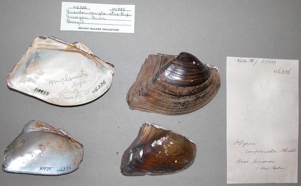
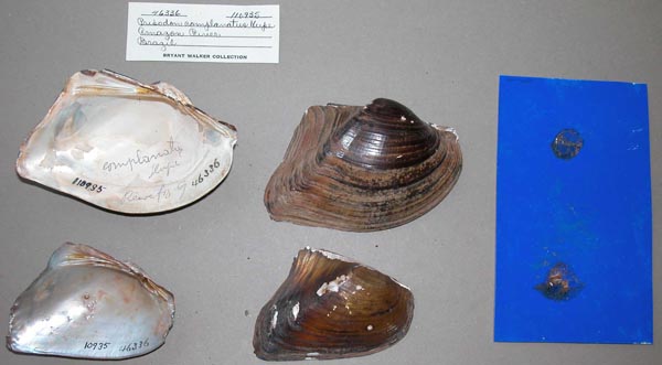
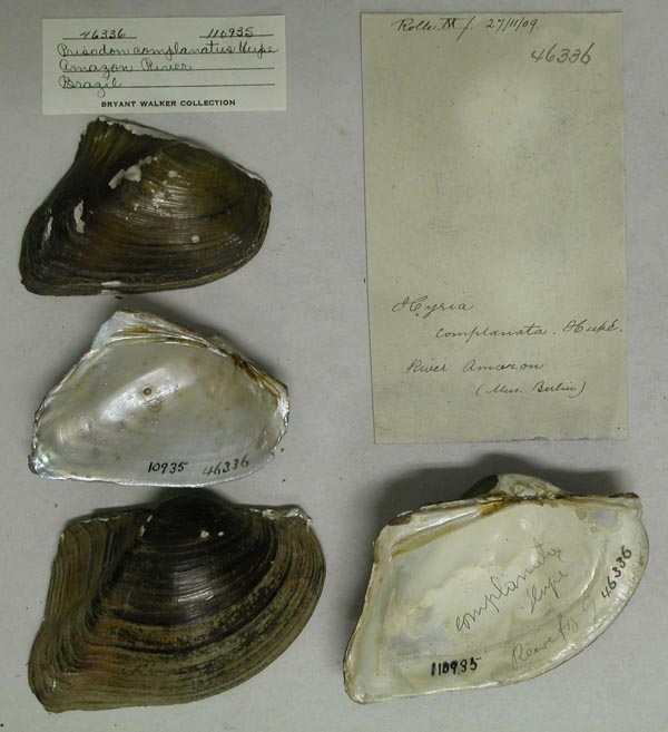
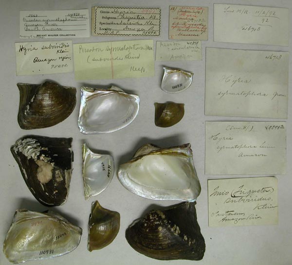
 |  UMMZ_110935
 Amazon River, Brazil
 |  UMMZ_110935
 Amazon River, Brazil
 |  |  UMMZ_110935
 Amazon River, Brazil
 |  MCZ_MP.93
 Amazon River, South America
 |  MCZ_MP.93
 Amazon River, South America
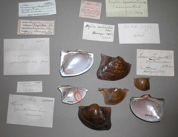
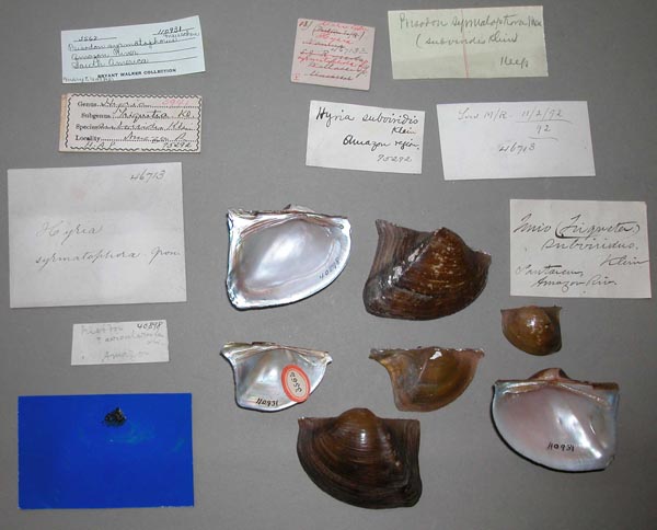
 |  |  UMMZ_110931
 Amazon River, South America
 |  UMMZ_110931
 Amazon River, South America
 |  UMMZ_110931
 Amazon River, South America
 |  |  UMMZ_110931
 Amazon River, South America
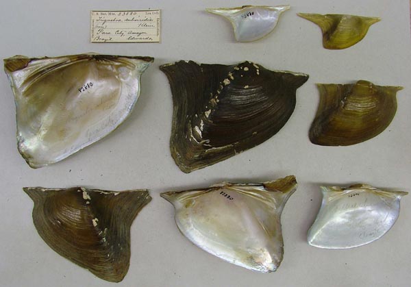
 |  USNM_853888
 Amazon, Para City, Brazil
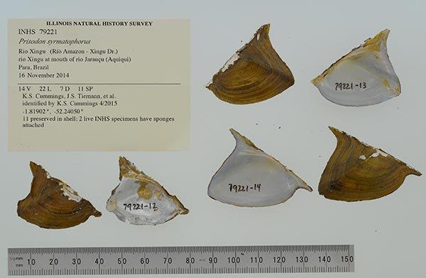
 |  INHS_79221
 at mouth of rio Jarauçu (Aquiqui)
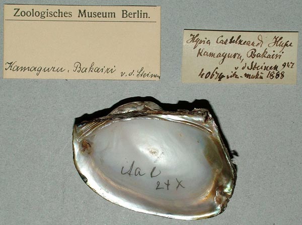
 |  |  ZMB_40674-01
 Bakairi, Kamayura
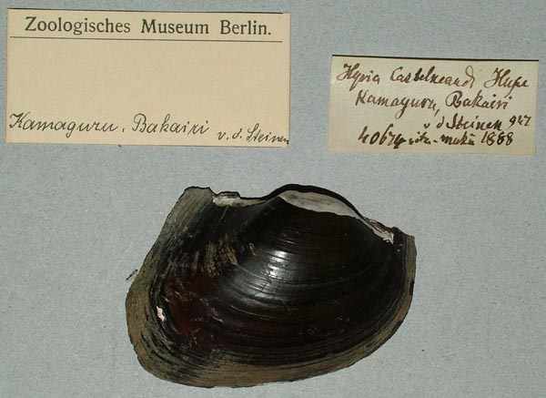
 |  ZMB_40674-01
 Bakairi, Kamayura
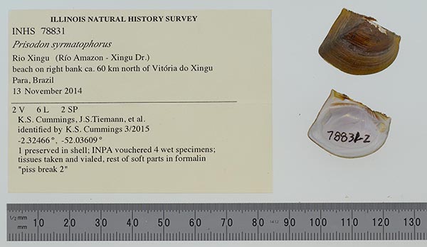
 |  INHS_78831
 beach on right bank ca. 60 km north of Vitória do Xingu
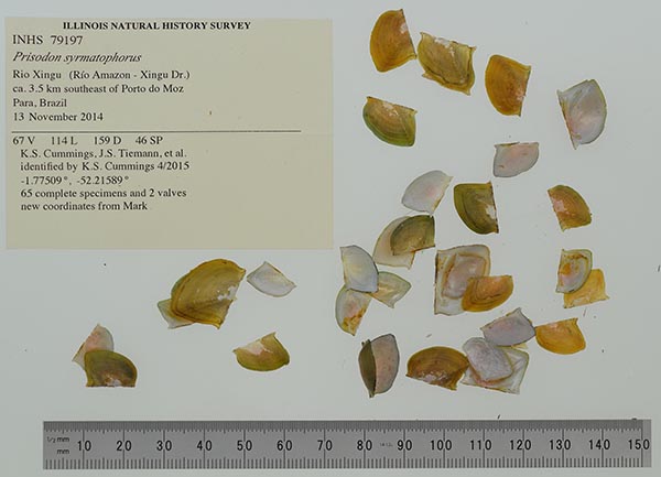
 |  |  INHS_79197
 beach on right bank, campsite 5 and vicinity, ca. 3.5 km southeast of Porto do Moz
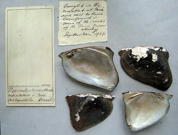
 |  ANSP_133819
 bought in the market at Pará, Brazil
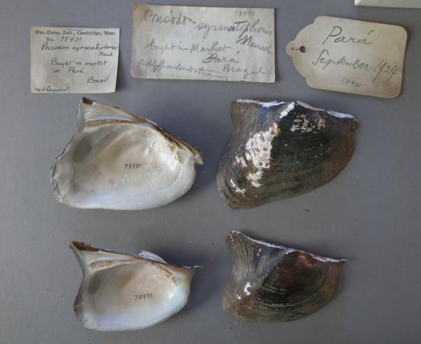
 |  MCZ_78431
 bought in the market at Pará, Brazil
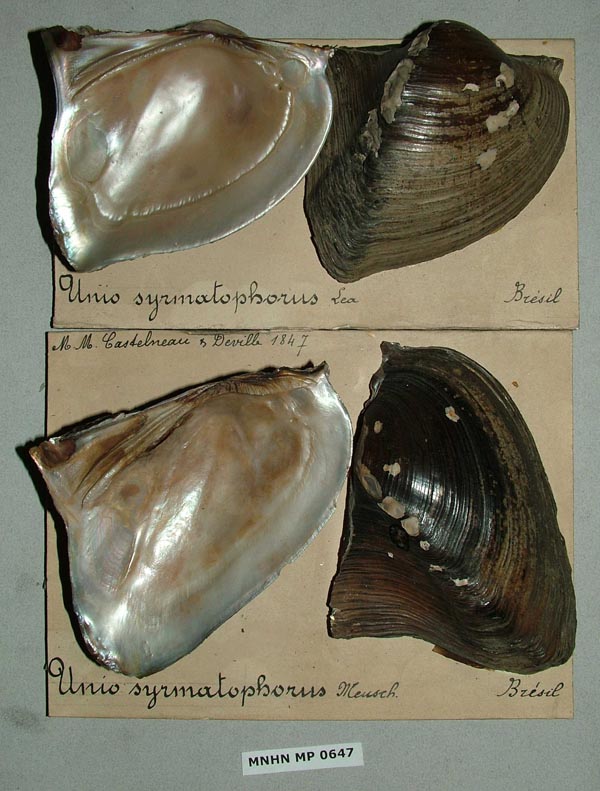
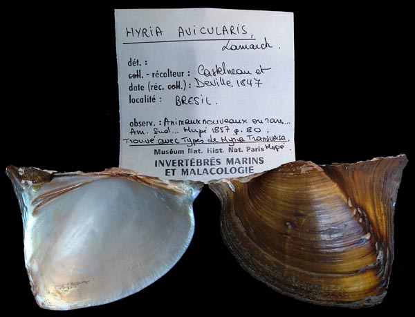
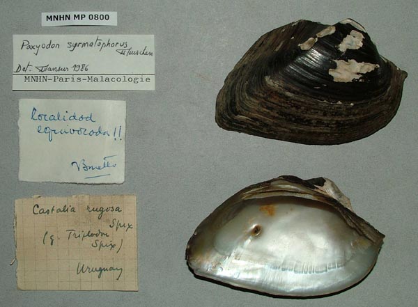
 |  |  MNHN_MP_0647
 Brasil
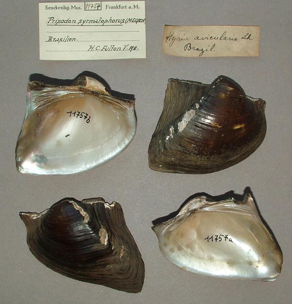
 |  SMF_11757
 Brasilien
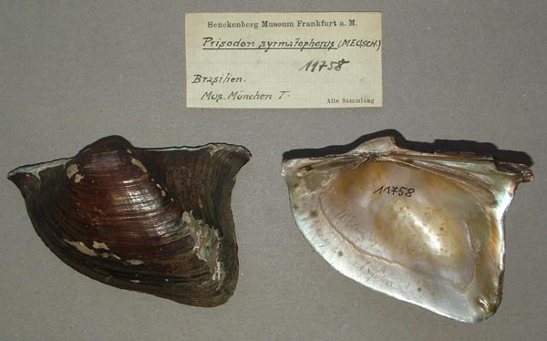
 |  SMF_11758
 Brasilien
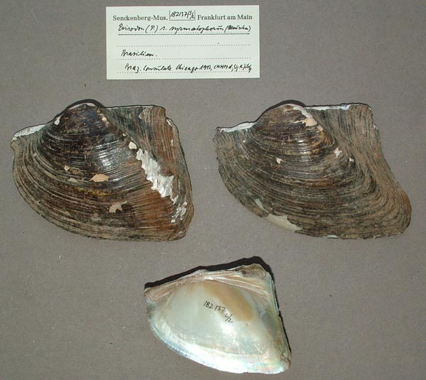
 |  |  SMF_182137
 Brasilien
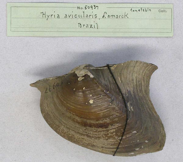
 |  AMNH_50937
 Brazil
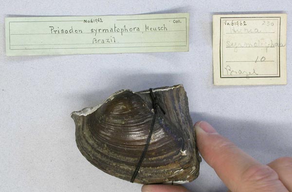
 |  AMNH_61962
 Brazil
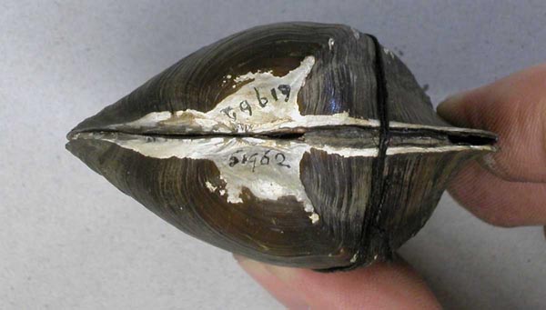
 |  |  AMNH_61962
 Brazil
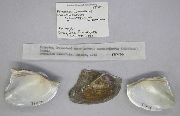
 |  AMNH_88274
 Brazil
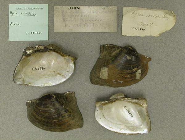
 |  AMS_126890
 Brazil
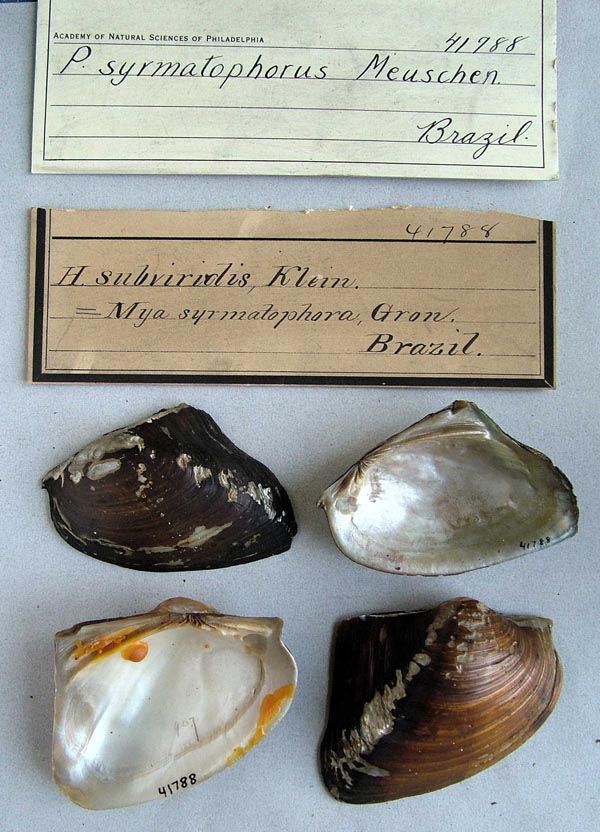
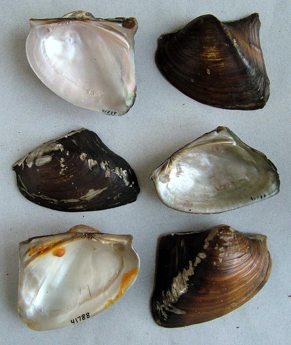
 |  |  ANSP_41788
 Brazil
 |  ANSP_41788
 Brazil
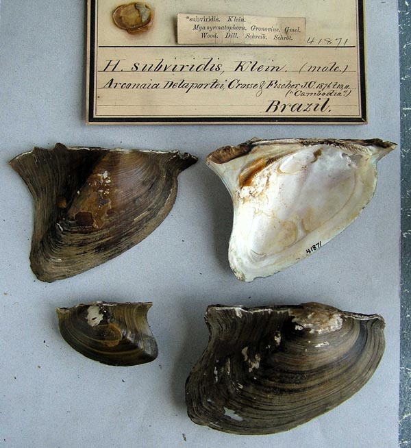
 |  ANSP_41871
 Brazil
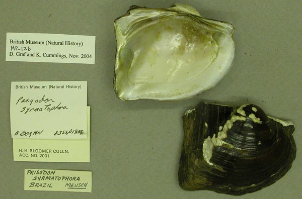
 |  |  BMNH_MP_126
 Brazil
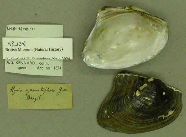
 |  BMNH_MP_128
 Brazil
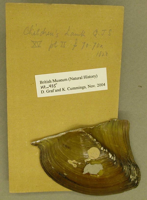
 |  BMNH_MP_435
 Brazil
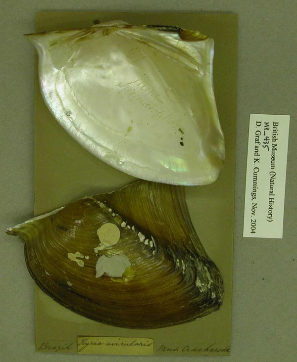
 |  |  BMNH_MP_435
 Brazil
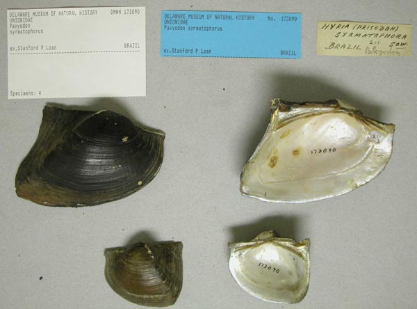
 |  DMNH_173090
 Brazil
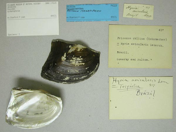
 |  DMNH_173125
 Brazil
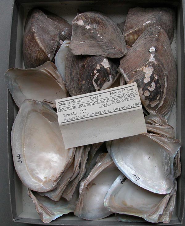
 |  |  FMNH_19417
 Brazil
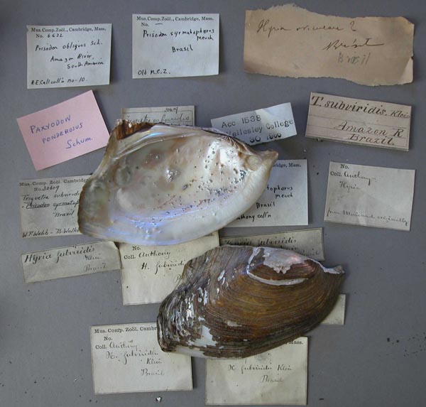
 |  MCZ_6622
 Brazil
 |  MCZ_6622
 Brazil
 |  |  MCZ_6622
 Brazil
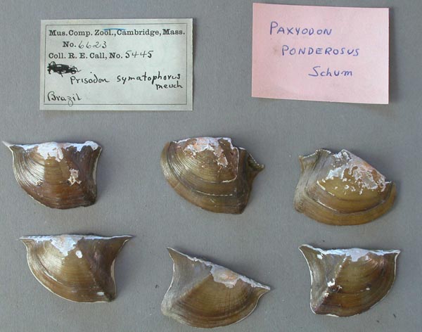
 |  MCZ_6623
 Brazil
 |  MNHN_MP_0644
 Brazil
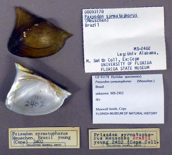
 |  |  UF_93178
 Brazil
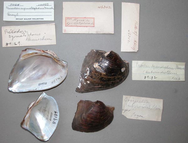
 |  UMMZ_110933
 Brazil
 |  UMMZ_110933
 Brazil
 |  |  UMMZ_110933
 Brazil
 |  UMMZ_110933
 Brazil
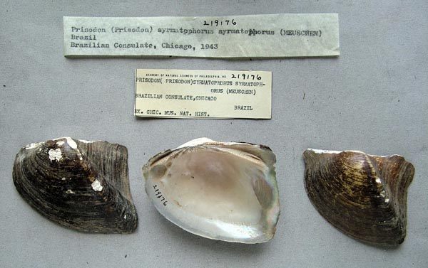
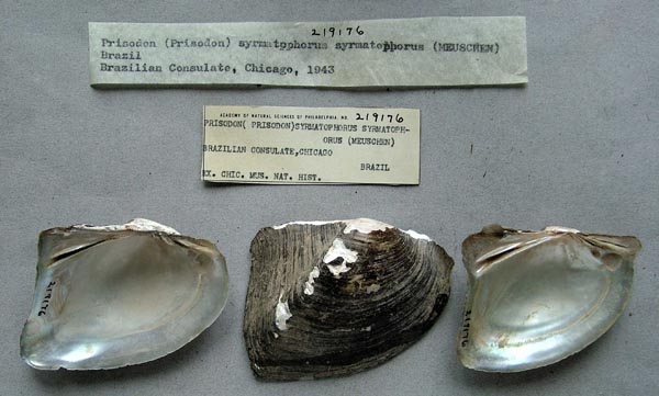
 |  ANSP_219176
 Brazilian Consulate, Chicago, 1943
 |  |  ANSP_219176
 Brazilian Consulate, Chicago, 1943
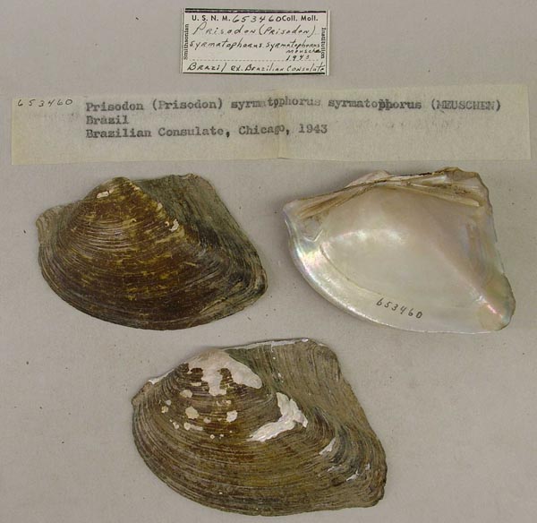
 |  USNM_653460
 Brazilian Consulate, Chicago, 1943
 |  USNM_653460
 Brazilian Consulate, Chicago, 1943
 |  |  MNHN_MP_1542
 Bresil
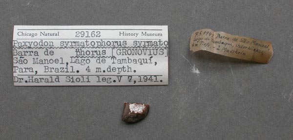
 |  FMNH_29162
 Lago de Tambaqui, Barra de Sao Manoel, Pará, Brazil
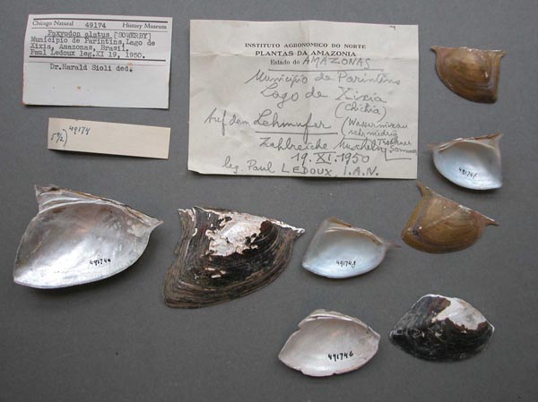
 |  FMNH_49174
 Lago de Xixia (Chichia), Municipio de Parintins, Amazonas, Brazil
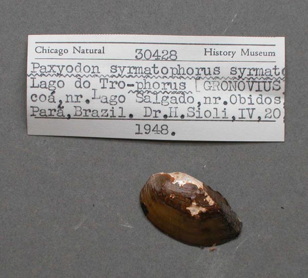
 |  |  FMNH_30428
 Lago do Trocoa, near Lago Salgado, near Obidos, Pará, Brazil
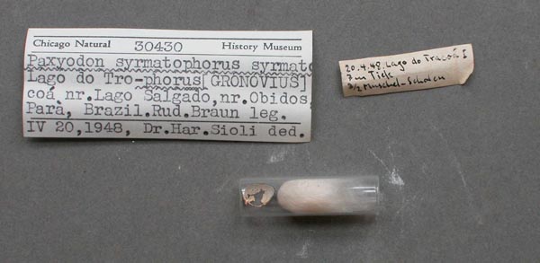
 |  FMNH_30430
 Lago do Trocoa, near Lago Salgado, near Obidos, Pará, Brazil
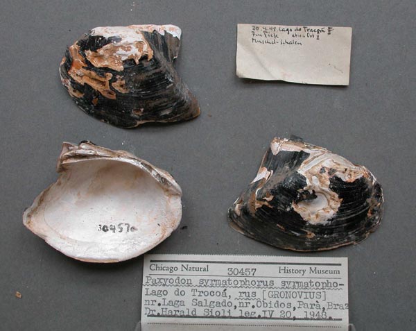
 |  FMNH_30457
 Lago do Trocoa, near Lago Salgado, near Obidos, Pará, Brazil
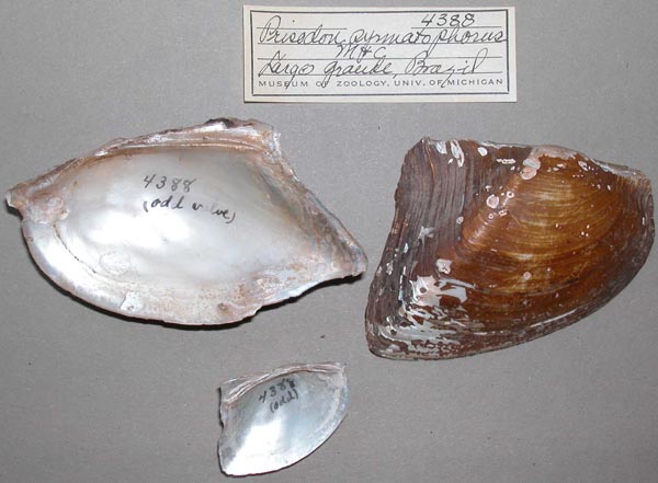
 |  |  UMMZ_4388
 Largo Grande, Brazil
 |  UMMZ_4388
 Largo Grande, Brazil
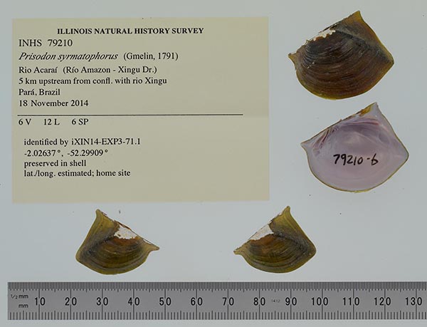
 |  INHS_79210
 left bank ca. 5 km upstream from confluence with rio Xingu
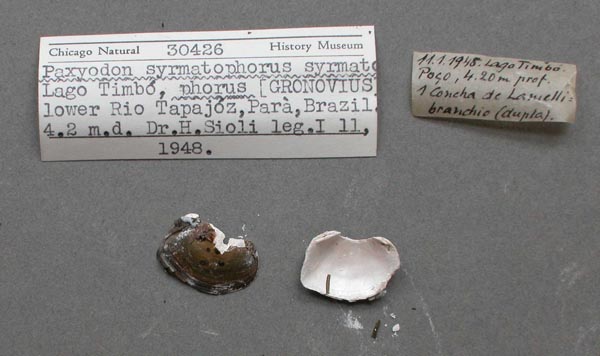
 |  |  FMNH_30426
 lower Rio Tapajós, Lago Timbo, Pará, Brazil
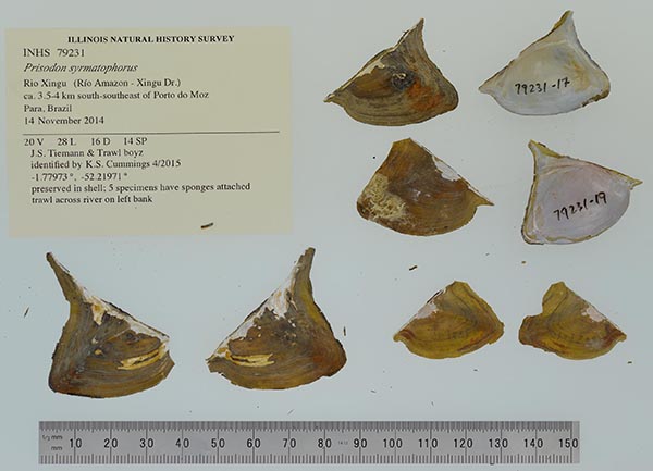
 |  INHS_79231
 main channel off right bank campsite 5, ca. 3.5-4 km south-southeast of Porto do Moz
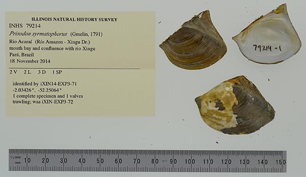
 |  INHS_79214
 mouth bay and confluence with rio Xingu
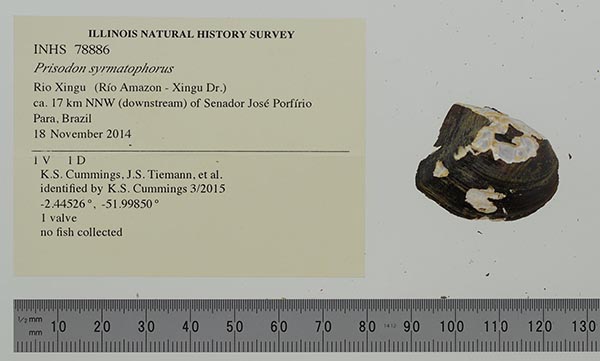
 |  |  INHS_78886
 off right bank ca. 17 km north-northwest (downstream) of Senador José Porfírio
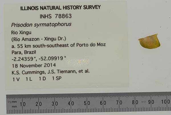
 |  INHS_78863
 off right bank ca. 55 km south-southeast of Porto do Moz
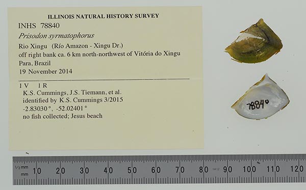
 |  INHS_78840
 off right bank ca. 6 km north-northwest of Vitória do Xingu
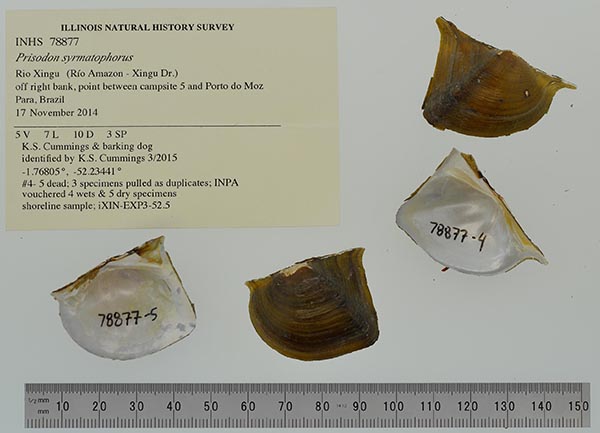
 |  |  INHS_78877
 off right bank, point between campsite 5 and Porto do Moz
 |  USNM_83880
 Pará City, Brazil
 |  USNM_83880
 Pará City, Brazil
 |  |  FMNH_126608
 Rio Araguaia, Barra do Tapirape, Mato Grosso, Brazil; 10°50’S, 50°40’
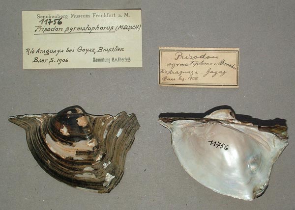
 |  SMF_11756
 Rio Araguaya bei Goyaz, Brasilien
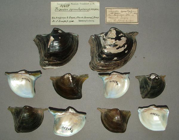
 |  SMF_11755
 Rio Araguaya, bei Goyaz, Ilha do Bananal, Bras.
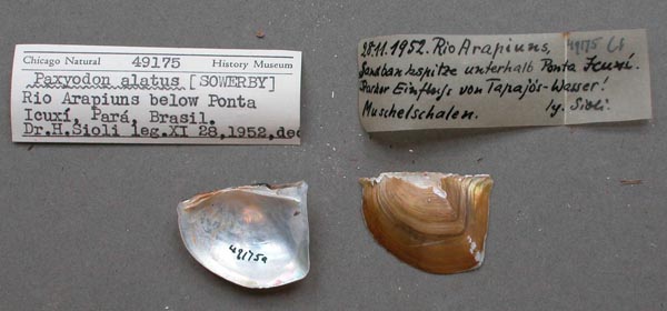
 |  |  FMNH_49175
 Rio Arapiuns, below Ponta Icuxi, Pará, Brazil
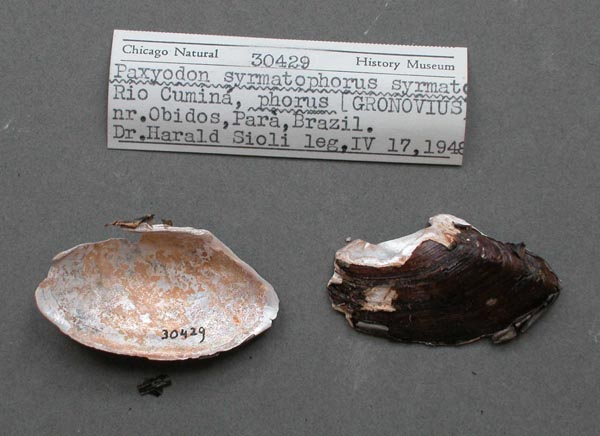
 |  FMNH_30429
 Rio Cumina, near Obidos, Pará, Brazil
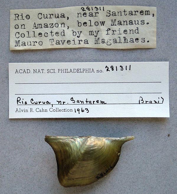
 |  ANSP_281311
 Rio Curua, near Santarem, on Amazon, below Manaus, Brazil
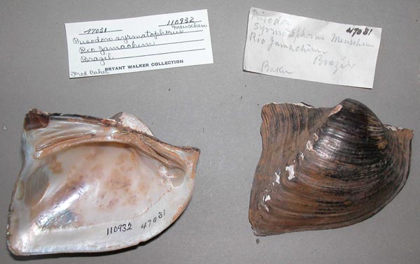
 |  |  UMMZ_110932
 Rio Jamachim, Brazil
 |  UMMZ_110932
 Rio Jamachim, Brazil
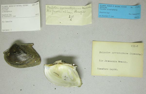
 |  DMNH_173096
 Rio Jamauchim, Brazil
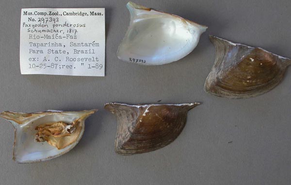
 |  |  MCZ_297393
 Rio Maica Faz, Taparinha, Santarem, Pará, Brazil
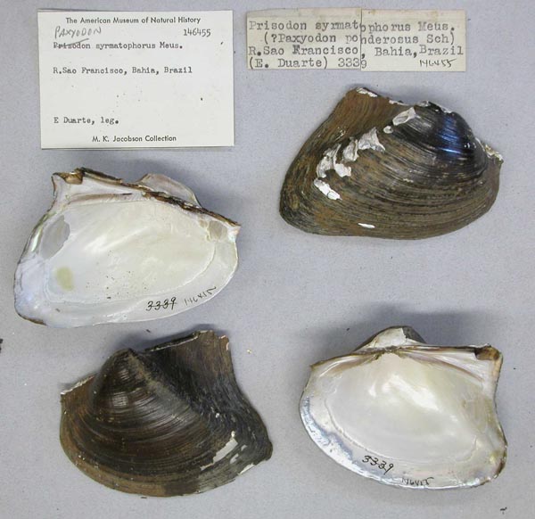
 |  AMNH_146455
 Rio Sao Francisco, Bahia, Brazil
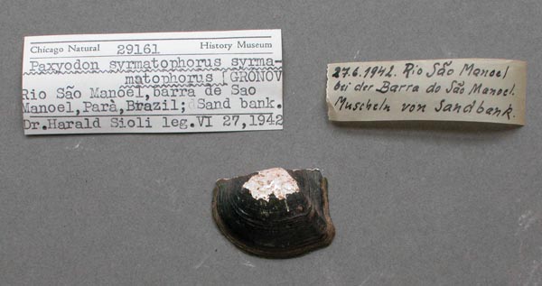
 |  FMNH_29161
 Rio Sao Manoel, Barra de Sao Manoel, Pará, Brazil
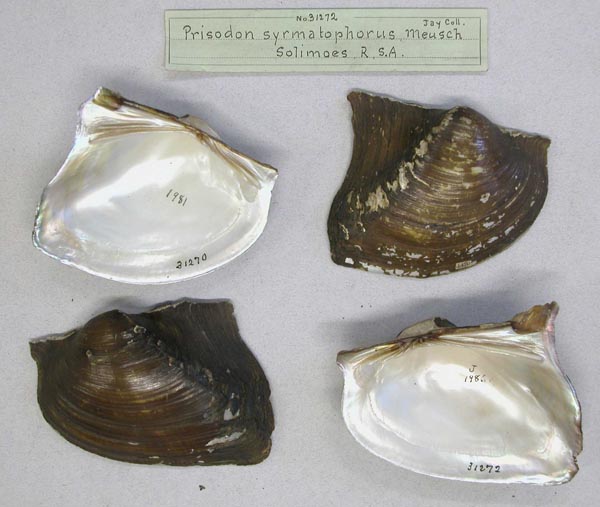
 |  |  AMNH_31272
 Rio Solimoes, Brazil
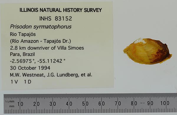
 |  INHS_83152
 Rio Tapajós, 2.8 km downriver of Villa Simoes, 2.8 km upriver of Vila Goreth, 5.6 km upriver of rio Arapiuns, Pará, Brazil
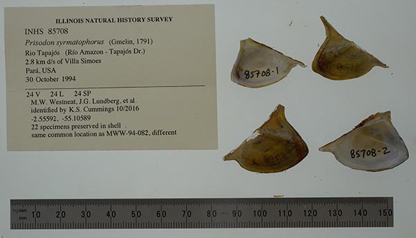
 |  INHS_85708
 Rio Tapajós, 2.8 km downriver of Villa Simoes, 2.8 km upriver of Vila Goreth, 5.6 km upriver of rio Arapiuns, Pará, Brazil
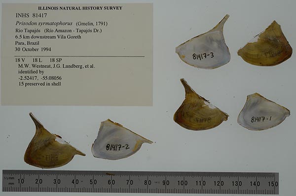
 |  |  INHS_81417
 Rio Tapajós, 6.5 km downstream Vila Goreth, 14.8 km Alter do Chao, Para, Brazil
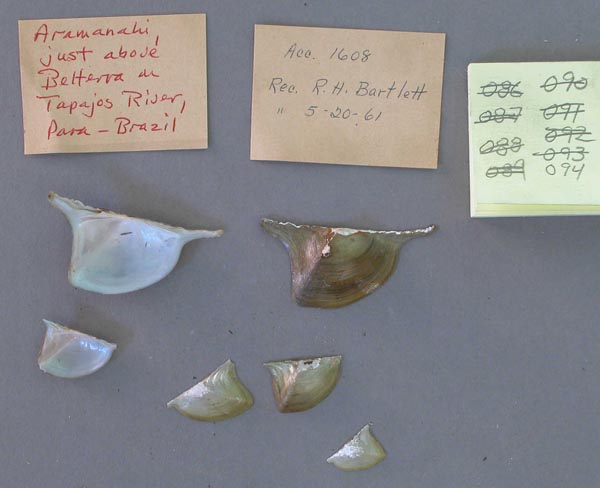
 |  MCZ_MP.94
 Rio Tapajós, Aramanahi, just above Belterra, Pará, Brazil
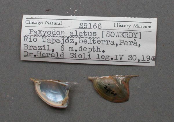
 |  FMNH_29166
 Rio Tapajós, Belterra, Pará, Brazil
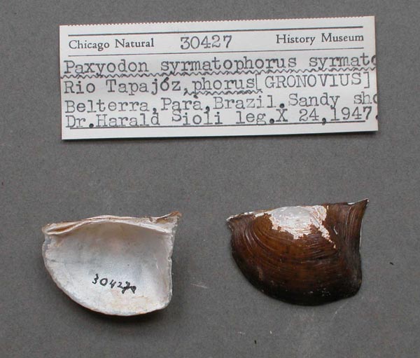
 |  |  FMNH_30427
 Rio Tapajós, Belterra, Pará, Brazil
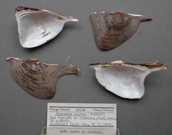
 |  FMNH_29168
 Rio Tapajós, Pindobal, Pará, Brazil
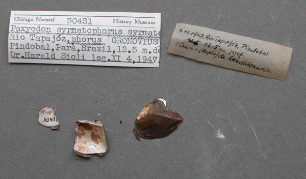
 |  FMNH_30431
 Rio Tapajós, Pindobal, Pará, Brazil
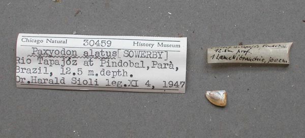
 |  |  FMNH_30459
 Rio Tapajós, Pindobal, Pará, Brazil
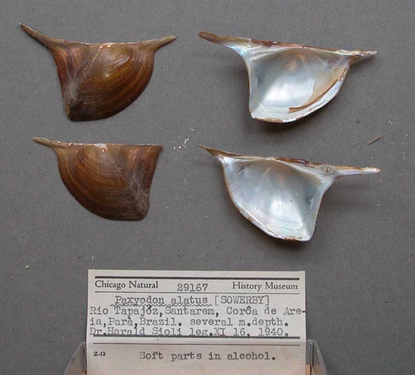
 |  FMNH_29167
 Rio Tapajós, Santarem, Corôa de Areia, Pará, Brazil
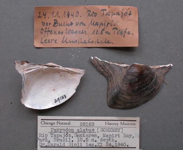
 |  FMNH_29163
 Rio Tapajós, Santarem, off Mapiri Bay, Pará, Brazil
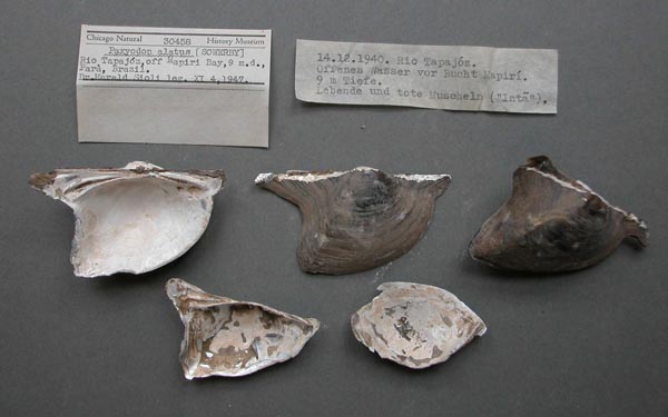
 |  |  FMNH_30458
 Rio Tapajós, Santarem, off Mapiri Bay, Pará, Brazil
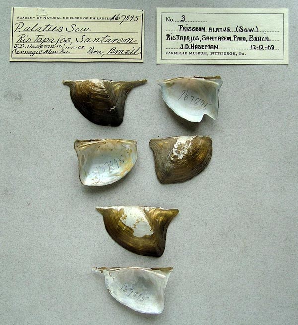
 |  ANSP_167895
 Rio Tapajós, Santarem, Pará, Brazil
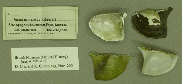
 |  BMNH_MP_044
 Rio Tapajós, Santarem, Pará, Brazil
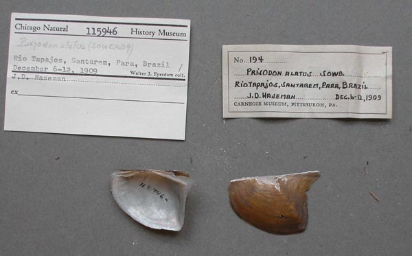
 |  |  FMNH_115946
 Rio Tapajós, Santarem, Pará, Brazil
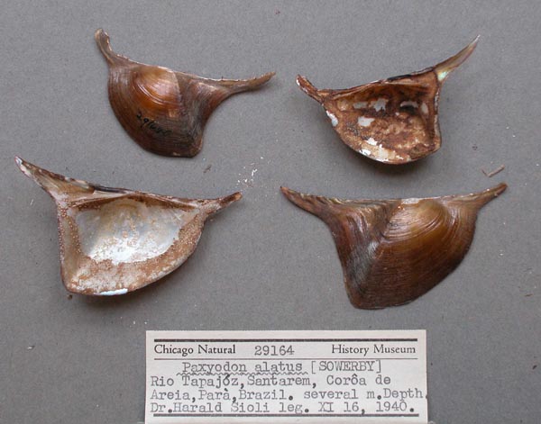
 |  FMNH_29164
 Rio Tapajós, Santarem, Pará, Brazil
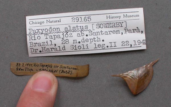
 |  FMNH_29165
 Rio Tapajós, Santarem, Pará, Brazil
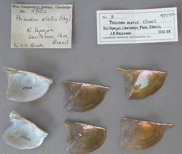
 |  |  MCZ_47052
 Rio Tapajós, Santarem, Pará, Brazil
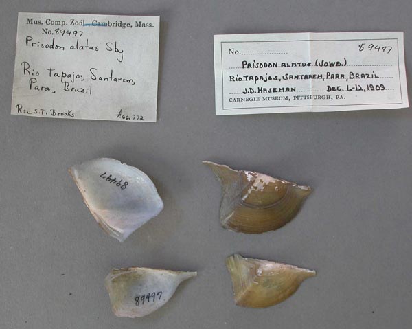
 |  MCZ_89497
 Rio Tapajós, Santarem, Pará, Brazil
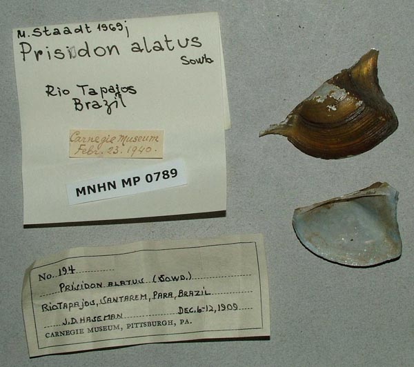
 |  MNHN_MP_0789
 Rio Tapajós, Santarem, Pará, Brazil
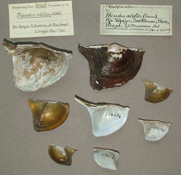
 |  |  SMF_11761
 Rio Tapajós, Santarem, Pará, Brazil
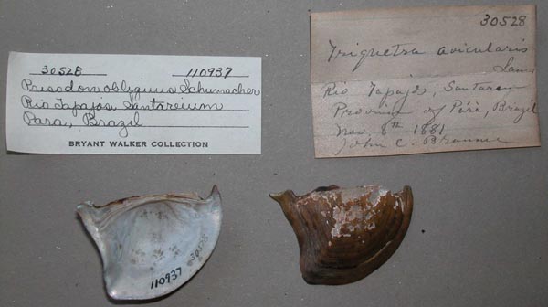
 |  UMMZ_110937
 Rio Tapajós, Santarem, Pará, Brazil
 |  UMMZ_110937
 Rio Tapajós, Santarem, Pará, Brazil
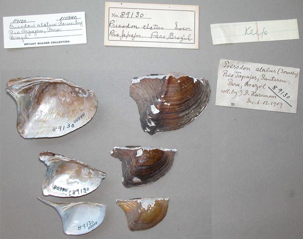
 |  |  UMMZ_110940
 Rio Tapajós, Santarem, Pará, Brazil
 |  UMMZ_110940
 Rio Tapajós, Santarem, Pará, Brazil
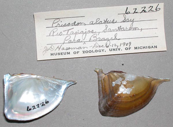
 |  UMMZ_62226
 Rio Tapajós, Santarem, Pará, Brazil
 |  |  UMMZ_62226
 Rio Tapajós, Santarem, Pará, Brazil
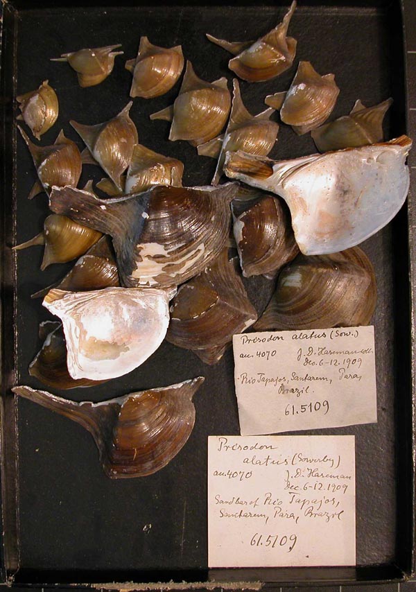
 |  CM_61.5109
 Rio Tapajós, Santarem, Prov. Pará, Brazil
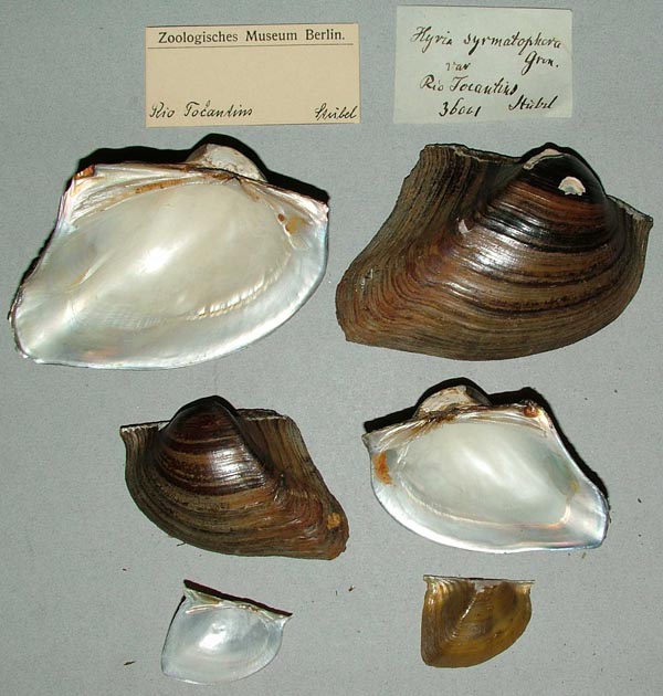
 |  ZMB_36001
 Rio Tocantins
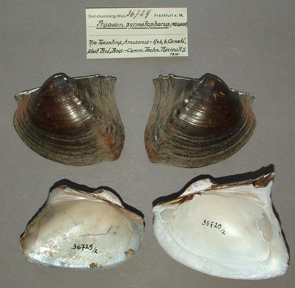
 |  |  SMF_36729
 Rio Tocantins, Amazonas, Geb., b. Cameta, Staat Pará, Bras.
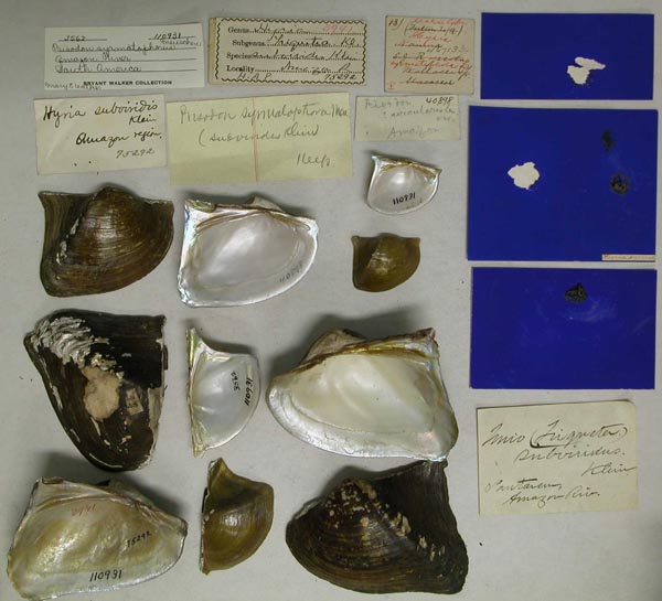
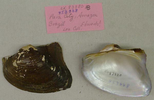
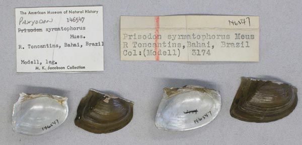
 |  AMNH_146547
 Rio Tocantins, Bahai [Bahia ?]  Brazil
 |  SMF_283463
 Rio Tocantins, Baiao
 |  |  FMNH_216437
 Rio Tocantins, Baiao, Brazil
 |  AMNH_146456
 Rio Tocantins, Brazil
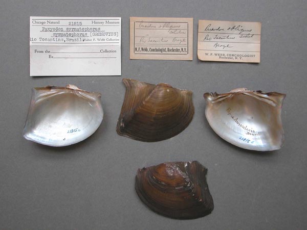
 |  FMNH_21815
 Rio Tocantins, Brazil
 |  |  UMMZ_110936
 Rio Tocantins, Brazil
 |  UMMZ_110936
 Rio Tocantins, Brazil
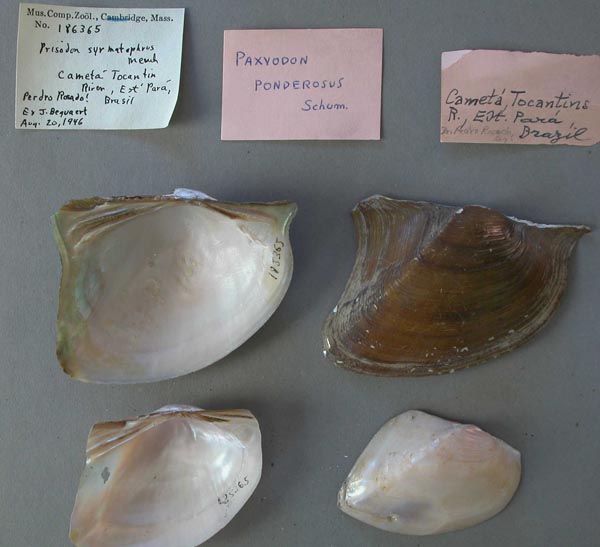
 |  MCZ_186365
 Rio Tocantins, Cameta, Est. Pará, Brazil
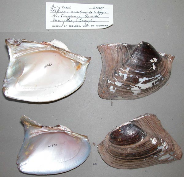
 |  |  UMMZ_65581
 Rio Tocantins, Cameta, Pará, Brazil
 |  UMMZ_65581
 Rio Tocantins, Cameta, Pará, Brazil
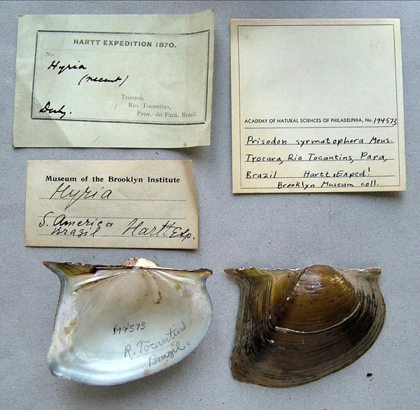
 |  ANSP_194573
 Rio Tocantins, Trocara, Pará, Brazil
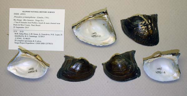
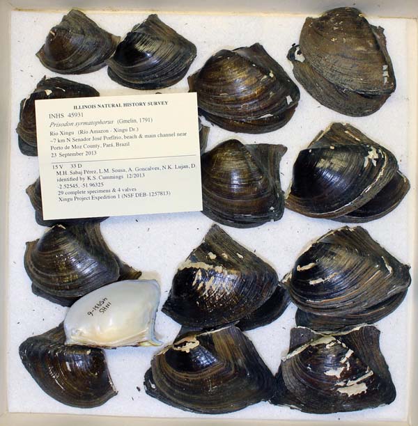
 |  |  INHS_45931
 Rio Xingu, ~7 km N Senador José Porfîrio, Pará, Brazil
 |  INHS_45931
 Rio Xingu, ~7 km N Senador José Porfîrio, Pará, Brazil
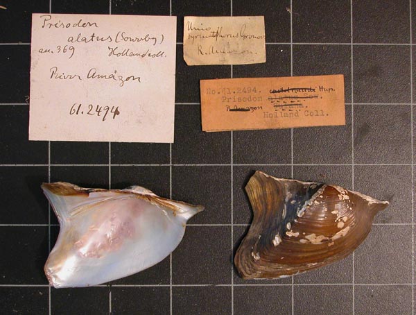
 |  CM_61.2494
 River Amazon
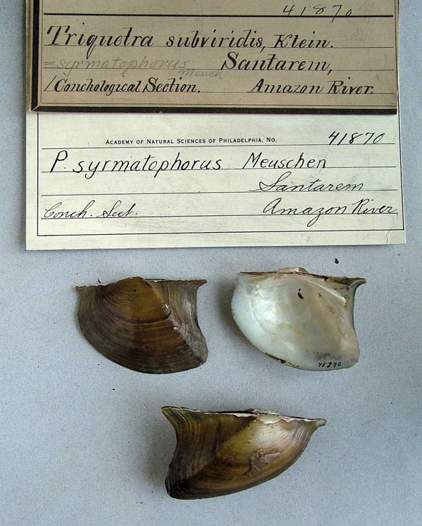
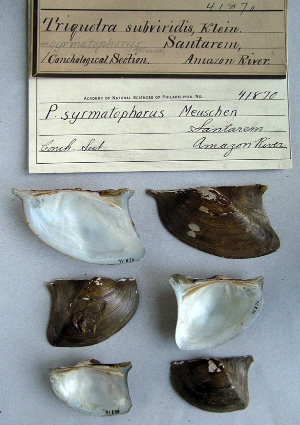
 |  |  ANSP_41870
 Santarem, Amazon River
 |  ANSP_41870
 Santarem, Amazon River
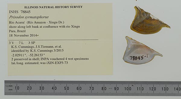
 |  INHS_78845
 shore along left bank at confluence with rio Xingu
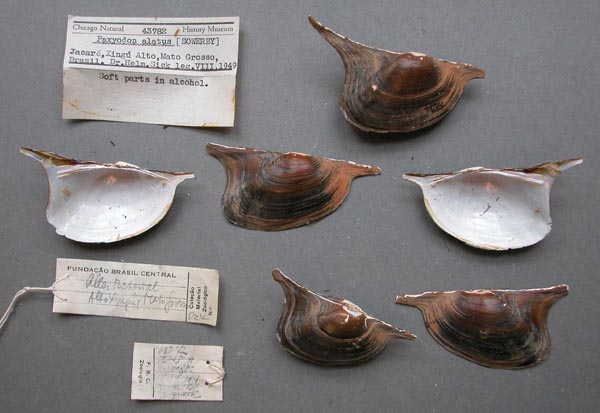
 |  |  FMNH_43782
 Xingu Alto, Jacare, Mato Grosso, Brazil
 | 
 COMA_B.1054.  RMNH_327159. Brasile INPA_1571. Brazil: Amapá: (Amazon): rio Amazonas: prox. Forte Macapá 00° 1' 35" N, 51° 03' 05" W:  0.02638   -51.05140 INPA_1572. Brazil: Amapá: (Amazon): rio Amazonas: prox. Forte Macapá 00° 1' 47" N, 51° 2' 53'' W:  0.02972, -51.04806 PUCRS_MCP_6150. Brazil: Pará: (Amazon - Tapajós): rio Tapajós: Praia do Rio Tapajós  INPA_943. Brazil: Pará: (Amazon - Trombetas): rio Trombetas: à jusante do porto Trombetas:  -1.45950  -56.38131 INPA_872. Brazil: Pará: (Amazon - Trombetas): rio Trombetas: à montante do porto Trombetas:  -1.45950  -56.38131 PUCRS_MCP_8531. Brazil: Pará: Afuá: (Amazon): Ilha do Chagas, afluente da Ilha do Pará: -1.99813  -54.93062 INPA_1408. Brazil: Pará: Barcarena: (Tocantins): rio Pará: baiá de Marajó:  -1.50583   -48.6258 INPA_981. Brazil: Pará: Cametá: (Tocantins): rio Tocantins INPA_1579. Brazil: Pará: Cametá: (Tocantins): rio Tocantins: vila do Carmo PUCRS_MCP_8351. Brazil: Pará: Ilha Grande: (Tocantins): Rio Tocantins: Vila do Carmo:  -2.45094  -49.44318 PUCRS_MCP_8357. Brazil: Pará: Ilha Grande: (Tocantins): Rio Tocantins: Vila do Carmo:  -2.45094  -49.44318 PUCRS_MCP_8527. Brazil: Pará: Ilha Grande: (Tocantins): Rio Tocantins: Vila do Carmo:  -2.45094  -49.44318 INPA_219. Brazil: Pará: Itupiranga: (Tocantins): rio Tocantins PUCRS_MCP_8355. Brazil: Pará: Santana do Araguaia: (Tocantins - Araguaia): Lagoa da Mata: Rio Araguaia INPA_1347. Brazil: Pará: Santarém: (Amazon - Tapajós): rio Tapajós: Alter do Chão, enseada em frente à praia do lago Preto, jusante da Ponta de Pedras:  -2.50454  -54.96061 INPA_1355. Brazil: Pará: Santarém: (Amazon - Tapajós): rio Tapajós: Alter do Chão, enseada em frente à praia em frente ao lago mais próximo da comunidade:  -2.50454  -54.96061 INPA_1333. Brazil: Pará: Santarém: (Amazon - Tapajós): rio Tapajós: Alter do Chão, enseada em frente a um lago:  -2.50454  -54.96061 INPA_1352. Brazil: Pará: Santarém: (Amazon - Tapajós): rio Tapajós: Alter do Chão, enseada próxima a um pontal:  -2.50454  -54.96061 INPA_1353. Brazil: Pará: Santarém: (Amazon - Tapajós): rio Tapajós: Alter do Chão, margem da Ponta do Cururu até as barracas próximas da praça de Alter:  -2.50454  -54.96061 PUCRS_MCP_8515. Brazil: Pará: Santarém: (Amazon - Tapajós): rio Tapajós: Alter do Chão, margem direita do rio Rio Tapajós:  -2.50454  -54.96061 PUCRS_MCP_8516. Brazil: Pará: Santarém: (Amazon - Tapajós): rio Tapajós: Alter do Chão, margem direita do rio Rio Tapajós:  -2.50454  -54.96061 INPA_496. Brazil: Pará: Santarém: (Amazon - Tapajós): rio Tapajós: Alter do Chão, margem próxima ao Tapajós:  -2.50454  -54.96061 INPA_1162. Brazil: Pará: Santarém: (Amazon - Tapajós): rio Tapajós: Alter do Chão, praia à frente e esquerda do lago Jacundá, ponto 5:  -2.50454  -54.96061 INPA_1330. Brazil: Pará: Santarém: (Amazon - Tapajós): rio Tapajós: Alter do Chão, praia a montante da comunidade:  -2.50454  -54.96061 INPA_1351. Brazil: Pará: Santarém: (Amazon - Tapajós): rio Tapajós: Alter do Chão, praia da Ponta do Cururu:  -2.50454  -54.96061 INPA_1169. Brazil: Pará: Santarém: (Amazon - Tapajós): rio Tapajós: Alter do Chão, praia em frente à praça caminhando aprox. 1,5Km em direção à praia Ponta do Cururu, ponto 1:  -2.50454  -54.96061 INPA_1177. Brazil: Pará: Santarém: (Amazon - Tapajós): rio Tapajós: Alter do Chão, praia em frente a um igarapé próximo à Ponta de Pedra:  -2.50454  -54.96061 INPA_1181. Brazil: Pará: Santarém: (Amazon - Tapajós): rio Tapajós: Alter do Chão, praia em frente a um lago, ponto 4:  -2.50454  -54.96061 INPA_1188. Brazil: Pará: Santarém: (Amazon - Tapajós): rio Tapajós: Alter do Chão, praia em frente a um lago, ponto 8:  -2.50454  -54.96061 INPA_1160. Brazil: Pará: Santarém: (Amazon - Tapajós): rio Tapajós: Alter do Chão, praia em frente ao lago do Jacaré, ponto 2:  -2.50454  -54.96061 INPA_1163. Brazil: Pará: Santarém: (Amazon - Tapajós): rio Tapajós: Alter do Chão, praia em frente ao lago Itapari, ponto 10:  -2.50454  -54.96061 INPA_1186. Brazil: Pará: Santarém: (Amazon - Tapajós): rio Tapajós: Alter do Chão, praia em frente ao lago Muretá, ponto 7:  -2.50454  -54.96061 INPA_1149. Brazil: Pará: Santarém: (Amazon - Tapajós): rio Tapajós: Alter do Chão, praia em frente ao lago Piranha:  -2.50454  -54.96061 INPA_1339. Brazil: Pará: Santarém: (Amazon - Tapajós): rio Tapajós: Alter do Chão, praia entre lago próx. da comunidade e pontal:  -2.50454  -54.96061 INPA_1341. Brazil: Pará: Santarém: (Amazon - Tapajós): rio Tapajós: Alter do Chão, praia entre lago próx. da comunidade e pontal:  -2.50454  -54.96061 INPA_1158. Brazil: Pará: Santarém: (Amazon - Tapajós): rio Tapajós: Alter do Chão, praia Ponta do Cururu até barracas próximas à praça (aprox. 2 Km de caminhada), ponto 10:  -2.50454  -54.96061 INPA_1182. Brazil: Pará: Santarém: (Amazon - Tapajós): rio Tapajós: Alter do Chão, praia próxima ao lago Jacundá, ponto 4:  -2.50454  -54.96061 INPA_1187. Brazil: Pará: Santarém: (Amazon - Tapajós): rio Tapajós: Alter do Chão, praia próxima ao lago Muretá, ponto 9:  -2.50454  -54.96061 INPA_1432. Brazil: Pará: Santarém: (Amazon - Tapajós): rio Tapajós: Alter do Chão:  -2.50454  -54.96061 INPA_225. Brazil: Pará: Santarém: (Amazon - Tapajós): rio Tapajós: Alter do Chão:  -2.50454  -54.96061 INPA_493. Brazil: Pará: Santarém: (Amazon - Tapajós): rio Tapajós: Alter do Chão:  -2.50454  -54.96061 INPA_974. Brazil: Pará: Santarém: (Amazon - Tapajós): rio Tapajós: Alter do Chão:  -2.50454  -54.96061 INPA_988. Brazil: Pará: Santarém: (Amazon - Tapajós): rio Tapajós: Alter do Chão:  -2.50454  -54.96061 INPA_1358. Brazil: Tocantins: Caseara: (Tocantins - Araguaia): rio Araguaia: -9.23073  -49.96436 RMNH_327157. Para, Brasile FMNH_112109B. Rio Tapirape, trib. to Rio Araguaia, Mato Grosso, Brazil 
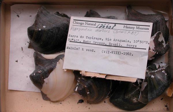
 French Guiana
 Guyana
 Peru
 unknown
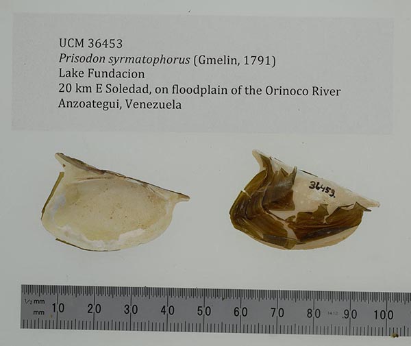
 Venezuela|  UCM_36453
 Lake Fundacion, 20 km E Soledad, on floodplain of the Orinoco River, Anzoategui, Venezuela
 |  UCM_36453
 Lake Fundacion, 20 km E Soledad, on floodplain of the Orinoco River, Anzoategui, Venezuela
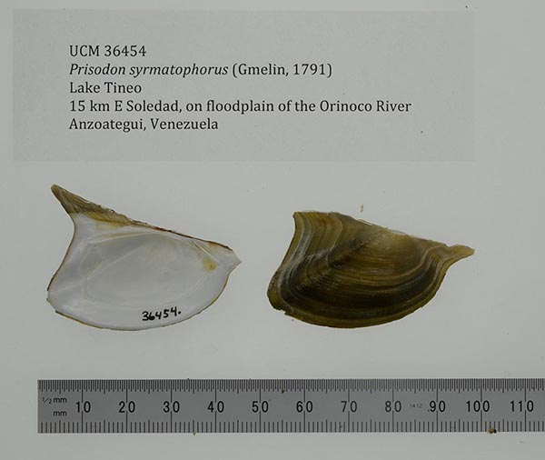
 |  UCM_36454
 Lake Tineo, 15 km E Soledad, on floodplain of the Orinoco River, Anzoategui, Venezuela
 |  |  UCM_36454
 Lake Tineo, 15 km E Soledad, on floodplain of the Orinoco River, Anzoategui, Venezuela
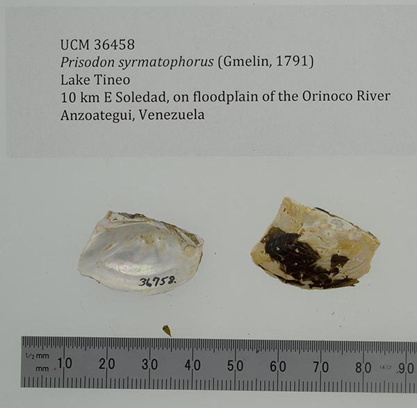
 |  UCM_36458
 Lake Tineo, 15 km E Soledad, on floodplain of the Orinoco River, Anzoategui, Venezuela
 |  UCM_36458
 Lake Tineo, 15 km E Soledad, on floodplain of the Orinoco River, Anzoategui, Venezuela
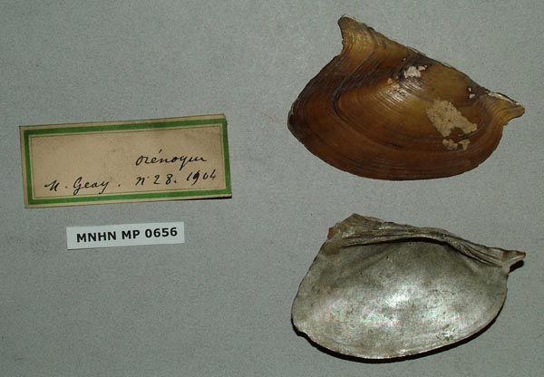
 |  |  MNHN_MP_0656
 Orenoque
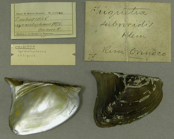
 |  ANSP_125546
 Orinoco River
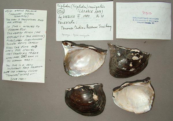
 |  SMF_319657
 Pemones Indian Reserve Territory (Orinoco Dr.) Venezuela
 | 
 |