Bivalvia
| Unionida
| Unionoidea
| Unionidae
| Parreysiinae
| Leoparreysiini
| Leoparreysia
species Leoparreysia olivacea (Prashad, 1930): specimens
1 available nominal species synonym
Recent Taxonomic Opinions
Parreysia (s.s.) olivacea — Graf & Cummings (2007)
Parreysia olivacea — Bogan (2010), IUCN (2010), Pfeiffer & Graf (2015), Ng et al. (2016), Bolotov et al. (2017), Konopleva et al. (2017), Zieritz et al. (2018)
Leoparreysia olivacea — Bolotov et al. (2017), Bolotov et al. (2018), Pfeiffer et al. (2018), Huang et al. (2019), Pfeiffer et al. (2019), ... Wu et al. (2021), Bolotov et al. (2022), Bolotov et al. (2022), Bolotov et al. (2022), Bolotov et al. (2024)
Range
Described from Kar Maing, upper Irrawaddy Basin, Myanmar.
Map of Georeferenced Specimens
MUSSELp Specimen Records
|

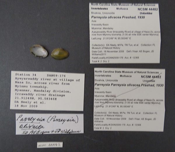
NCSM_44482
Asia, Irrawaddy Basin, Myanmar, Mandalay, Ayeyarwaddy River [Irrawaddy River], at village of Naza Zo, across river from Myinmu township, [1.00 air mile SSE center Myinmu]. 21.91249° N, 95.58346° E
|

NCSM_44486
Asia, Irrawaddy Bsain, Myanmar, Sagaing, Ayeyarwaddy River [Irrawaddy River], at sandbar across braided channel from Sinyua village, Mangua township (N of Mandalay), [1.90 air miles SE center Min Kun], 22.02174° N, 96.03226° E
|
India
Myanmar
|

UMMZ_304641
Ayeryarwaddy River, 3 mi SW Pakkoku, Magway Division. 21.2963, 95.01982
|

CAS_180799
Ayeryarwaddy River, 3 mi SW Pakkoku, Magway Division. 21.2963, 95.01982
|

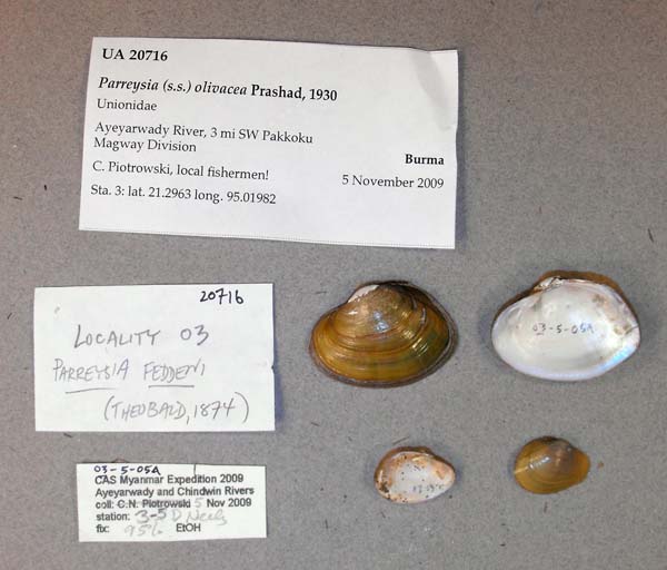
UA_20716
Ayeryarwaddy River, 3 mi SW Pakkoku, Magway Division. 21.2963, 95.01982
|
|

CAS_180840
Ayeryarwaddy River, 3 mi SW Pakkoku, Magway Division. 21.2963, 95.01982
|

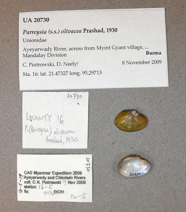
UA_20730
Ayeryarwaddy River, across from Myint Gyant village.., Mandalay Division, Burma. 21.47327, 95.2973
|

UA_20730
Ayeryarwaddy River, across from Myint Gyant village.., Mandalay Division, Burma. 21.47327, 95.2973
|
|

CAS_180825
Ayeryarwaddy River, across from Myint Gyant village.., Mandalay Division, Burma. 21.47327, 95.2973
|

CAS_180828
Ayeryarwaddy River, mud bank on E side of river, Mandalay Division, Burma. 21.48187, 95.30501
|

CAS_180794
BURMA [UNION OF MYANMAR]: Ayeyarwady River: Mandalay Division: E bank of river at Sin Test township 21.91249, 95.58346
|
|

CAS_180827
Chindwin River, Ma-U village, east side of river, Sagaing Division, Burma. 21.75477, 95.20013
|
Genbank Vouchers
Georeferenced Genbank Vouchers
Myanmar
UMMZ_304641. (16S: KP795044, 28S: KP795005, COI: KP795022, SRA: SRR8473038, go to Genbank) Ayeryarwaddy River, 3 mi SW Pakkoku, Magway Division. 21.2963, 95.01982.
RMBH_biv_932_1. (COI: OK480028, go to Genbank) Myanmar: Ayeyarwady River, Nant Kaung River.
RMBH_biv_932_2. (COI: OK480029, go to Genbank) ditto.
RMBH_biv_932_3. (COI: OK480030, go to Genbank) ditto.


